Pricing Change
New pricing for orders of material from this site will come into place shortly. Charges for supply of digital images, digitisation on demand, prints and licensing will be altered.
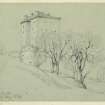
Borthwick Castle
Tower House (Medieval)
Site Name Borthwick Castle
Classification Tower House (Medieval)
Alternative Name(s) Lochorwart; Mote Of Lochorwart
Canmore ID 53239
Site Number NT35NE 1
NGR NT 36990 59732
Datum OSGB36 - NGR
Permalink http://canmore.org.uk/site/53239
- Council Midlothian
- Parish Borthwick
- Former Region Lothian
- Former District Midlothian
- Former County Midlothian
(NT 3699 5973) Borthwick Castle (NR)
OS 6" map (1957)
NT35NE 1.01 Gate-house
NT35NE 1.02 Gateway
NT35NE 1.03 Gate piers
NMRS REFERENCE
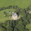
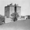
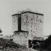
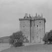
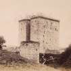
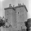
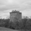
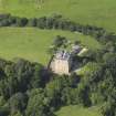
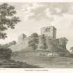
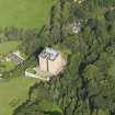
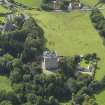
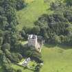
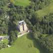
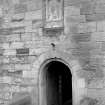
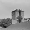
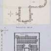
Borthwick Castle, built about 1430, consists of a main block with two wings on the W, and remains substantially in its original state, despite minor modern restoration. It stands within an irregularly-shaped enceinte just over 1/2 acre in extent, originally enclosed by curtain walls, surmounted by a parapet-wall and strengthened in places by circled and salient towers. Grose in 1789, shows an oblong 17th century dovecot projecting from the SE angle of the enceinte. The entrance to the enclosure is modern, but is on the site of the original gateway.
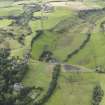
There was a mote-hill on the site, called the mote of Lochorwart, before the present structure, and at the eastern base of the promontory on which it stands, there still remains an 8-10' wide ditch, with a low outer rampart. There is now no trace of the mote-hill, it was presumably levelled when the castle was erected.
RCAHMS 1929, visited 1920.
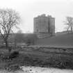
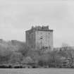
Borthwick Castle, an outstanding example of a 15th Century tower, is generally as described and planned. No trace of the dovecot survives.
The ditch and rampart at the eastern base of the promontory is now visible as a terrace averaging about 4.0m wide x 1.3m high.
Revised at 25".
Visited by OS (RD) 17 February 1970.
NMRS REFERENCE:
Owner: Major Borthwick of Borthwick.
NMRS Print Room:
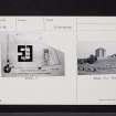
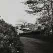
W Schomberg Scott Photograph Collection, accession no 1997/39.
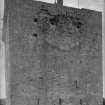
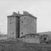
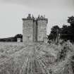
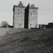
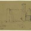
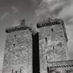
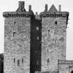
2 views of the towers.
EXTERNAL REFERENCE:
NATIONAL LIBRARY OF SCOTLAND
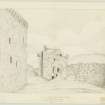
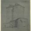
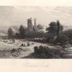
Uncatalogued manuscripts of General Hutton, no 26, sketch dated 1781.
Field Visit (20 July 1915)
Borthwick Castle.
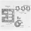
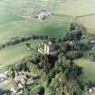
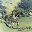
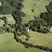
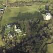
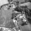
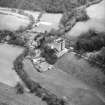
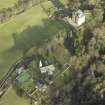
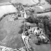
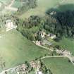
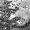
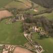
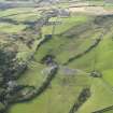
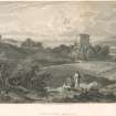
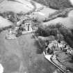
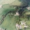
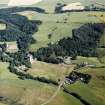
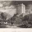
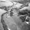
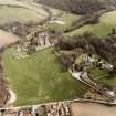
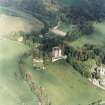
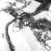
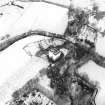
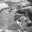
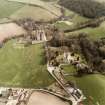
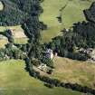
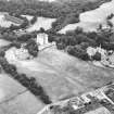
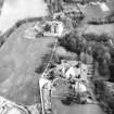
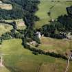
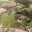
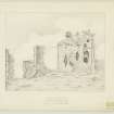
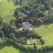
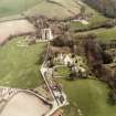
On the promontory formed by the junction of the Middleton North Burn and the Gore Water, 1 ½ miles south-east of Gorebridge, the massive pile of Borthwick Castle (Figs. 30 and 31) is conspicuous on the left bank of the latter stream. On all sides but the western, the site declines sharply to the streams, and the castle buildings are placed towards the eastern end. They were apparently separated from the remainder of the site by a ditch, partly a natural re-entrant but now filled up, which would be crossed by a drawbridge. There was a mote-hill on the site before the present structure (see Historical Note), and, at the eastern base of the promontory, there still remains a ditch, 8 to 10 feet wide, with a low outer rampart. Of the mote-hill proper, however, there is now no trace, and it may be assumed that this was levelled when the new castle was erected on what was presumably the bailey of the earlier fortification.
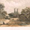
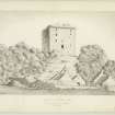
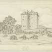
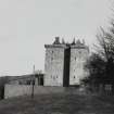
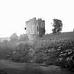
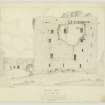
The castle is probably the most complete of the great 15th-century towers in Scotland. It consists of a main block with two wings on the west side, and remains substantially in its original state, although a restoration within modern times has obscured or destroyed some minor details. It stands within an irregularly shaped enceinte rather more than half an acre in extent. This area was originally enclosed by curtain walls, which followed the perimeter of the site and were surmounted by a parapet walk and strengthened in places by circled and salient towers. Little remains of the curtain except the lower portion of the west stretch, which is built in freestone rubble with dressed quoins; towards the foot there is a weathered basement course, stepped where it breasts the incline. This stretch contains one tier of very wide and low gun-ports. Portions of two circled towers remain. The first, a very massive drum-tower, is placed at the south-western angle. The second tower is placed almost midway along the south wall; it stood fairly complete until the "restoration," at which time the inner part of it fell or was cast down, leaving only the present fragment to mark its place. Grose (1789) shows an oblong 17th century dovecot projecting from the south-east angle of the enceinte.
One consideration in choosing a site for a great structure like Borthwick must have been the proximity of a quarry of suitable building stone; in the external walls alone there are over 30,000 tons of masonry, and of this quantity 12,000 tons are ashlar. The quarry whence this material came is unknown, but the O.S. map records numerous old quarries on the banks of the Middleton burns.
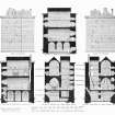
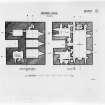
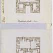
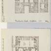
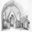
[see RCAHMS 1929 pp.3-9 for a full architectural description]
HISTORICAL NOTE. In June 1430 Sir William de Borthwick of that ilk received a special licence to construct and fortify a castle or fortalice in the place commonly called the Mote of Lochorwart (1). Thomas Hay of ‘Lochchorwart’ and this William Borthwick had been members of the assise at the trial in 1423 when the Duke of Albany and his son were condemned to death (2). Borthwick was a substitute hostage in England from July 1425 under the treaty for the liberation of James I, and was kept in York Castle, being released in the course of 1427 (3). On the Borthwicks see further [RCAHMS 1929] Introd., p. xxxviii. The change of name is fixed by 1538 in a confirmation of the lands of the ‘Moit of Lochquhorat and the castle of the same then called the castle of Borthwick’ (4). On the night of 10 June 1567 the insurgent lords suddenly appeared before Borthwick Castle, where Queen Mary was with her husband, but Bothwell had been warned and had ridden off the night before, leaving Mary with six or seven of her attendants, whereupon the lords withdrew to Edinburgh. The lords alleged this retirement as proof that they had no designs against the Queen herself, since, had that been the case, they might have captured her in the castle, ‘it being maist easie to have been taken’ (5). Mary left Borthwick the next night in male attire and was met a mile away by Bothwell, who conducted her to Dunbar (6). The tenth Lord Borthwick held the castle against Cromwell in 1650, and. on November 9 Major-General Lambert marched thither from Edinburgh with ‘two mortar-pieces’ and apparently ‘two great guns’ (7). On November 18 Cromwell addressed a letter to the Governor of Borthwick Castle, alleging that he had harboured parties in his house who had murdered English soldiers and warning him ‘if you necessitate me to bend my cannon against you, you may expect what I doubt you will not be pleased with’ (8). Carlyle says Lord Borthwick ‘walked away’ in surrender, having been allowed fifteen days to pack, a statement which he seems to have taken from the Statistical Account (9). The place has been restored and is now inhabited.
RCAHMS 1929, visited 21 October 1920
(1) Reg. Mag. Sig., s.a., No. 157; (2) Scotich.,Lib. xvi, cap. x; (3) Bain's Calendar, iv, Nos. 983, 1005, 1010; (4) Reg. Mag. Sig., s.a., No. 1826; (5) Illustrations of the Reign of Queen Mary, p. 235; (6) Diurnal of Occurrents, pp. 112-13; Few. Cal. Elizabeth, viii, 248-50; (7) Cromwell's Scotch Campaigns, W. S. Douglas, p. 169; (8) Carlyle, Cromwell's Letters, &c., No. clii; (9) Stat. Acct., xiii, p. 635.
Watching Brief (30 June 2014)
NT 3699 5973 A watching brief was undertaken on 30 June 2014 during the ground-breaking work associated with a programme of drainage improvements around Borthwick Castle. The first stage of the works involved digging a 2m wide trench around the castle to a depth of c1.7m. This trench exposed the castle’s foundations and the outlets of refuse chutes and culverts leaving the castle. A buried topsoil, located below the modern ground surface in the area around the castle, was found to contain a range of artefacts of possible medieval date, including ceramic pottery fragments, pipe stems and animal bone.
Archive: RCAHMS (intended)
Funder: Borthwick Castle
Nicholas Johnstone – AOC Archaeology Group
(Source: DES)


