Dunure Castle
Castle (14th Century) - (17th Century)
Site Name Dunure Castle
Classification Castle (14th Century) - (17th Century)
Canmore ID 40938
Site Number NS21NE 8
NGR NS 25229 15821
Datum OSGB36 - NGR
Permalink http://canmore.org.uk/site/40938

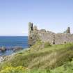
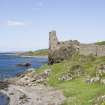
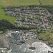
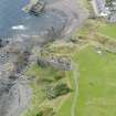
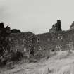

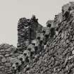
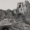
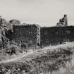

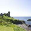
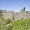
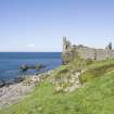


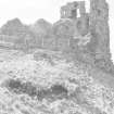
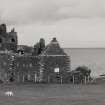
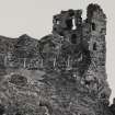
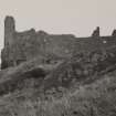
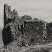
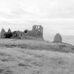
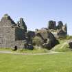
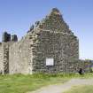
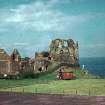
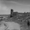
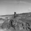
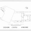
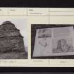
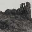
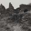
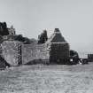

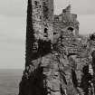
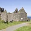
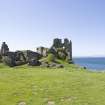
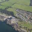
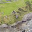
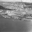
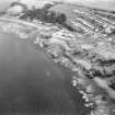
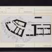
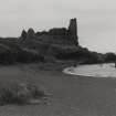


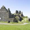
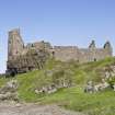
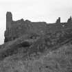
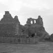
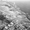
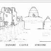
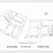
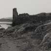
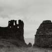
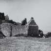
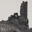
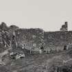
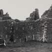
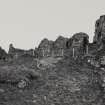
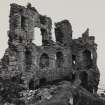
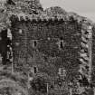
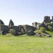
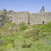
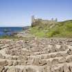

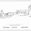
First 100 images shown. See the Collections panel (below) for a link to all digital images.
- Council South Ayrshire
- Parish Maybole
- Former Region Strathclyde
- Former District Kyle And Carrick
- Former County Ayrshire
NS21NE 8.00 25229 15821
NS21NE 31 Dovecot
(NS 2522 1581) Dunure Castle (NR) (remains of)
OS 6" map (1970)
See separate site NS21NE 31 (NS 2526 1583) for Dovecot (NR)
OS 6" map (1970)
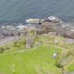
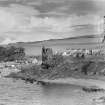
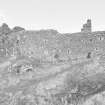
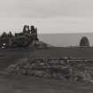
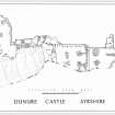
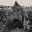
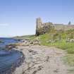
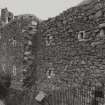
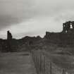
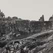
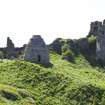
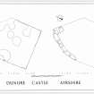
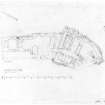
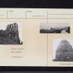
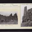
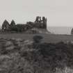
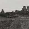
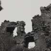
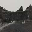
Dunure Castle, property of the Kennedies, occupies a rocky coastal promontory. It consisted of two parts, a probable 13th century keep of irregular shape on top of a rock, and a range of buildings, 15th centrury and later, at a lower level. Vaults in the basement are still farily well preserved, but the superstructure is almost completely demolioshed, apart from a fragment of the NW wall. A detached piece of wall, which possibly contained a gateway, lies to the NE.
Also nearby is a circular, beehive type (16th century) dovecote, in good preservation (SDD List 1963).
D MacGibbon and T Ross 1889
Castle and dovecote are generally as described above. The detached piece of wall to the NE seems to be a large mass of masonry fallen from the castle. To the NW of the keep are the probable remains of a courtyard wall contemporary with the keep.
Visited by OS (JLD) 13 December 1955 and (RD) 3 March 1967
The remains of the castle are in an unstable and dangerous condition. The 1976 excavation trenches are evident along the external W wall. Revised at 1:2500.
Visited by OS (JRL) 9 July 1977
NS 2522 1582 A major ongoing programme of excavation was undertaken of the standing remains of the castle (NMRS NS21NE 8), the principal medieval fortress of the Kennedys of Dunure, Earls of Cassillis. Excavation centred upon the area immediately to the S of the existing keep (Area 2), the lower parts of the castle - a range abutting the keep (Area 3), and a late 16th-century kitchen range (Area 4). The primary result of the works has been to elucidate the complex architectural development of the site as well as to achieve the clearance required for public access.
The wall bounding the S side of Area 2 had formed part of a substantial polygonal wall of enclosure built around the edge of the whinstone crag that forms the defensive nucleus of the site. The E side of Area 2 seems to have been the site of the entrance into this enclosure. The exposed walling, perhaps 13th century, itself overlay slight traces of earlier masonry constructions.
The existing keep, bounding Area 2 to the N, seems to have started life as a two or three-storied hall-house (although not included in the present investigations) inserted within the pre-existing enclosure walls. Area 2 was not subsumed by this new work, and the original entrance continued in use.
At perhaps about this stage a defensive fore-building was built against the crag, abutting Area 2 to the S. This structure took the form of an open tower with (?timber) stair rising within to a new opening cut through the S wall of Area 2. This provided alternative protected access to the upper parts of the castle. The entry to the tower was from the E, where much of its substantial roll-moulded surround survived in situ, the threshold at the level of a protruding plinth course. An apparent well, later blocked, had been built in the thickness of the wall just within the entrance on its S side. This was supplied by a stone-lined channel.
A series of major additions can perhaps be grouped into a single programme of upgrading of the castle in the later 15th century. The hall-house was vaulted throughout and massively extended to create a donjon that infilled the whole of the early wall of enclosure to the N of Area 2. Area 2 was itself vaulted over on two stories and provided with a stone saddle-and-trough roof. A three-storied range was added to the W side of the fore-building and the wall-head of the combined whole furnished with machicolated parapets. Internally the former fore-building was remodelled with a masonry stair of three flights culminating at a small drawbridge over a gap of some 2m above a drop of 4.5m. This gave entry into the upper castle (Area 2). This programme of work may also have seen the creation of a substantial outer enclosure wall that survived in part to be depicted by Francis Grose in 1789.
Evidence for a chapel of about this period came from a series of architectural stones reused in the later flooring of Area 4, the recovery of a number of pieces of ecclesiastical painted window glass, and a single reference to its destruction in a siege of 1570.
The final stage of the evolution of the standing structure came with the erection of the existing Area 4 kitchen range. Destruction deposits below its floors suggest its construction in the wake of the 1570 siege. These deposits produced a single rim shard of a Venetian glass beaker of the 16th century decorated with raised outer ridges of white enamel.
The demise of the castle came in the mid-17th century and by 1694 the castle is described as 'wholly ruined'. Abandonment fill of a stone-lined channel produced a single sherd of a Staffordshire slip-decorated redware of this period. It is not clear whether this can be linked to the Civil War period in the form of a slighting, although local tradition suggests that Dunure had been burnt and/or blown up. A major collapse of the SE part of the keep could perhaps be linked to such activity. Recovery of building materials for the construction of the Cromwellian citadel in Ayr may also account for its ruination, as at Ardrossan Castle. There was, however, much evidence for the systematic dismantling of the structure for recoverable building materials including the orderly removal of slates, stone and glass. The room had seen the gathering together of windows removed from their apertures throughout the castle. The windows were then dismantled and comprehensively stripped of their lead and complete quarries; 1260 discarded quarry fragments of glass and three pieces of came were recovered from a single level. Remains of a localised fire and associated deposits of coal suggest that smelting of the lead took place within the room.
Those dismantling the castle seem to have occupied part of the structure during their work. A substantial midden contained local green-glazed reduced wares.
The ruin subsequently saw periodic robbing of its sandstone dressings. A range of castle buildings to the S of Area 4 remained in occupation until c.1860. Census records and reuse of some rooms demonstrate that some of the occupants were fishermen. A large midden of mussel shell gave evidence for the baiting of cod lines. Domestic refuse of the later 18th and early to mid-19th century was also recovered.
Twenty-five blocks of masonry ranging between 0.5 and 25 tons and some 400 recovered carved architectural stones have greatly added to the understanding of the form of the dismantled or fallen parts of the castle.
Reports will be lodged with the NMRS.
Sponsors: Historic Scotland, Strathclyde Building Preservation Trust, HLF, Enterprise Ayrshire, South Ayrshire Council.
T Addyman 1998
NS 2522 1582 Work in February 1999 concentrated upon Area 5 - the mound of rubble collapse along the E side of the standing ruins. A 3 x 10m area was excavated in order to provide direct public access to the partly buried principal entrance. Rubble deposits banked steeply up to the N reached a depth of some 2m. A number of cut architectural fragments were recovered.
Removal of the rubble revealed an abandonment surface of former topsoil build-up, presumably of the 17th century. Upon and within this, evidence for the dismantling of the castle came in the form of scattered broken roof slate and chips from the re-dressing of recovered sandstone blocks. Just below the principal entrance a group of five substantial square-headed door nails were recovered associated with a splintered fragment of 2" iron shot. It may be speculated that the shot became embedded in the door upon shattering when impacting nearby. The only recorded military action at Dunure that might account for the fragment consisted of a short siege in 1570. A Civil War action or slighting is a further possibility, although the castle may have been abandoned by that time.
Below the entrance itself a short forestair was located and its limits defined. A short flight of four steps rose up to a platform just below the entrance. Many of the steps and the surface of the platform itself had been robbed of their sandstone.
The route of a stone-lined water course was located at the S end of the trench as it ran into the entrance of the Area 4 kitchen range. Groundworks to the S of the ruins located a further, well- preserved section of the same water course.
A report will be lodged with the NMRS.
Sponsors: Historic Scotland, Strathclyde Building Preservation Trust, South Ayrshire Council, Heritage Lottery Fund, Enterprise Ayrshire.
T Addyman 2000.
NMRS REFERENCE
'Copies of 19th century photographs in LtCol Macfarlan's possession' - a copy of Raeburn's Mrs Kennedy showing castle.
EXTERNAL REFERENCES:
National Library Earnock MSS II 73, - 1 engraving.
Non-Guardianship Sites Plan Collection, DC23447- DC23454, 1955.
Photographed in 2009 on behalf of the Buildings of Scotland publications.
RCAHMS 2009.
Field Visit (April 1985)
Dunure Castle NS 2522 1582 NS21NE 8
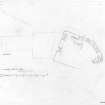
This castle is situated on a rocky coastal promontory 240m SW of Dunure harbour. The earliest identifiable portion comprises a tower and courtyard of probable late 14th century date; the tower was oblong on plan, measuring 11.3m by 6.1 m within walls 1.5m thick. During the late medieval period, the remains of this earlier castle were incorporated in a building of three principal storeys; on the SSW, a wing of two principal storeys (11m by 8.5m within walls up to 1.2m thick), with a corbelled machicolation, was added, and during the 16th century this was extended by the addition of a kitchen wing ( 11.2m by 5.6m within walls 1.1 m thick) provided with a corridor on its ENE side. The subsequent addition of these service ranges may obscure the original entrance/gatehouse arrangements which are known to have existed. A bailey on the precipitous seaward side of the promontory is partially defined by the remains of a wall 1.5m thick. A well-preserved 16th century beehive dovecot stands on a knoll 33m ENE of the castle (NS 2526 1584). There are no visible remains of a chapel which is said to have stood in the vicinity of the entrance to the castle. The castle was the property of the Kennedys, Earls of Cassillis. RCAHMS 1985, visited April 1985.
(Grose 1789-91, ii, 196-7; NSA, v, Ayr, 365, 385; Paterson 1863-6, ii, 380-2; Chalmers 1887-1902, vi, 467,493,494; MacGibbon and Ross 1896-7, iii, 341-4).


