Pricing Change
New pricing for orders of material from this site will come into place shortly. Charges for supply of digital images, digitisation on demand, prints and licensing will be altered.
Westside
Rig And Furrow (Medieval) - (Post Medieval), Ring Ditch(S) (Prehistoric), Unenclosed Settlement (Prehistoric)
Site Name Westside
Classification Rig And Furrow (Medieval) - (Post Medieval), Ring Ditch(S) (Prehistoric), Unenclosed Settlement (Prehistoric)
Alternative Name(s) Inchbare
Canmore ID 35971
Site Number NO66NW 40
NGR NO 6149 6654
Datum OSGB36 - NGR
Permalink http://canmore.org.uk/site/35971
- Council Angus
- Parish Edzell
- Former Region Tayside
- Former District Angus
- Former County Angus
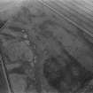
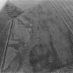
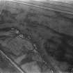
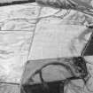
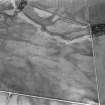
(Location cited as NO 615 664). Westside, circular enclosure (cropmarks) and ring ditches. Air photographs: AAS/97/10/G19/5-10 and AAS/97/10/CT.
NMRS, MS/712/29.
Note (1983)
Westside NO 615 665 NO66NW 40
What is probably the site of an unenclosed settlement, is revealed by cropmarks 750m E of Westside farmhouse. Besides two ring-ditches (probably house-sites), there are two crescentic cropmarks, a possible souterrain and several short linear eatures, some of which may be souterrain-like structures. The ring-ditches have internal diameters of 17m and 13m respectively, and both have two entrances.
RCAHMS 1983.


