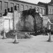
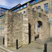
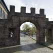
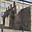
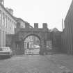
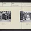
Dundee, East (Cowgate) Port, Wishart Arch
Gateway (Period Unassigned), Town Wall (16th Century)
Site Name Dundee, East (Cowgate) Port, Wishart Arch
Classification Gateway (Period Unassigned), Town Wall (16th Century)
Alternative Name(s) Wishart's Port
Canmore ID 33531
Site Number NO43SW 7
NGR NO 40688 30725
Datum OSGB36 - NGR
Permalink http://canmore.org.uk/site/33531
- Council Dundee, City Of
- Parish Dundee (Dundee, City Of)
- Former Region Tayside
- Former District City Of Dundee
- Former County Angus
NO43SW 7 4069 3072.
(NO 4069 3072) East or Cowgate Port (NR)
OS 1:500 plan, Dundee, Forfarshire, (1871)
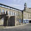
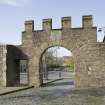
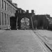
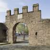
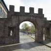
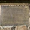
The present position of the East Port, one of the town gates, which was removed to this site from its original position at NO 4060 3058 in 1650. A plaque states that it was restored in 1877 and the battlemented parapet is modern.
A Maxwell 1884; I M Beatts 1878; Visited by OS (J L D) 17 April 1958.
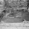
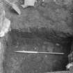
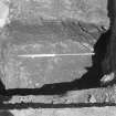
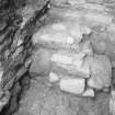
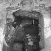
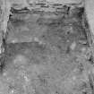
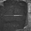
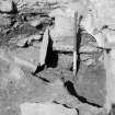
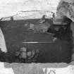
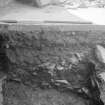
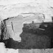
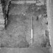
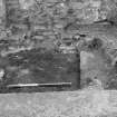
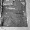
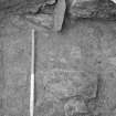
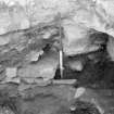
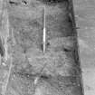
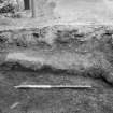
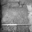
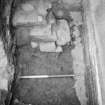
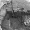
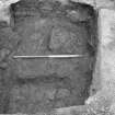
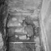
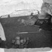
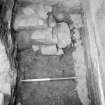
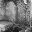
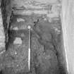
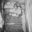
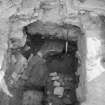
Excavation, in 1989, around the foundations of the arch and walls adjacent to the south showed that the standing walls date to the late 18th century and later. However, these and 17th century foundations respect an earlier boundary, probably the line of the town wall. It seems the Wishart Arch is on an authentic site of the East Port.
Sponsor: Tayside Regional Council, SUAT.
D R Perry and D P Bowler.
NMRS REFERENCE:
NMRS /Simpson and Brown photographs.
Box 8, album no. 119.
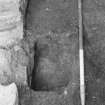
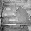
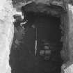
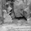
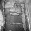
1989 three views.
Publication Account (1988)
The Cowgate is the only surviving town port, owing its preservation chiefly to the false premise that it was the only gate corresponding to the description given by John Knox of the place from which George Wishart preached (if he did) in 1544 (Maxwell, 1884, 221). This association was sufficient to have prevented its demolition when the other town gates were removed about 1770 (Berwick, 1803, 109). It is generally accepted that the Cowgate Port was a component of the redesigned town defences of 1650. Before the end of the 16th century a port, considered by Maxwell (1884, 220) to have been a simple barrass, was erected at the east end of the Cowgate. The Cowgate formed at that time the chief entry into the town from the east. The present stone structure with its central single arch is 8 ft 6 ins (2.59m) wide by 11 ft (3.35m) high, and has a gate and battlemented top.
The course of the 17th-century wall as illustrated throughout this study shows the 17th-century Cowgate Port astride the Cowgate Street, but obsolete as a component of the defences. It is suggested that this port fell into disuse in the later 17th century subsequent to the demolition of buildings outwith the wall on the north side of Cowgate.
A number of points should be made concerning the present appearance of the port. Lawson (106) suggests that the street-level has risen at and around the gate since its construction, and it would originally have been a more impressive structure. There is no evidence to test the accuracy of this statement, although if it is true, it may be possible in future to identify the foundations of buildings adjoining the gate and to reveal lower courses of masonry.
Repairs and improvements carried out over the last two hundred years have undoubtedly changed the character of the structure. Today, the port is in a sad state of dilapidation and urgently in need of repair.
Information from ‘Historic Dundee: The Archaeological Implications of Development’ (1988).
Excavation (1989)
Excavation, in 1989, around the foundations of the arch and walls adjacent to the south showed that the standing walls date to the late 18th century and later. However, these and 17th century foundations respect an earlier boundary, probably the line of the town wall. It seems the Wishart Arch is on an authentic site of the East Port.
Sponsor: Tayside Regional Council, SUAT.
D R Perry and D P Bowler.
Trench A revealed that the south end of the Port is the remains of a corner of a building erected between 1776 and 1793 against an already existing boundary wall and building to the east. The building was replaced in the middle of this century by a brick building set further back from the street.
Trench B revealed the presence of some 0.90m of archaeological deposits. Initially an open yard with a drain, cobbing and boundary wall, the site was occupied by a possible seventeenth century building. Eventually the late eighteenth century stone and mid twentieth century brick buildings were erected as in Trench A.
Scottish Urban Archaeological Trust. 1989. Excavations in Cowgate, Dundee.
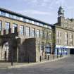
Photographic Survey (8 April 2011)
Photographed for the Listed Buildings Area Survey.


