Pricing Change
New pricing for orders of material from this site will come into place shortly. Charges for supply of digital images, digitisation on demand, prints and licensing will be altered.
River Clyde, Newshot Island, Barrage Balloon Mooring Site
Barrage Balloon Site (Second World War)
Site Name River Clyde, Newshot Island, Barrage Balloon Mooring Site
Classification Barrage Balloon Site (Second World War)
Alternative Name(s) Clyde Aa Defences; Sandieland Wood
Canmore ID 288231
Site Number NS46NE 145
NGR NS 4926 6956
NGR Description c. NS 4926 6956
Datum OSGB36 - NGR
Permalink http://canmore.org.uk/site/288231
- Council Renfrewshire
- Parish Inchinnan
- Former Region Strathclyde
- Former District Renfrew
- Former County Renfrewshire
NS46NE 145 c. 4926 6956
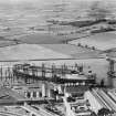
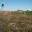
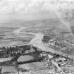
A barrage balloon mooring site has been identified from an RAF WW II oblique aerial photograph (No.1CAM, x891, flown20 October 1941), on the S bank of the River Clyde immediately E of a small inlet and marshy area.
The photograph shows a barrage balloon set down on the site.
Information from RCAHMS (DE), April 2007
Field Visit (4 May 2017)
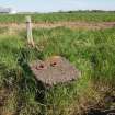
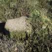
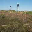
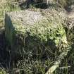
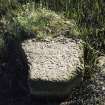
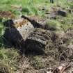
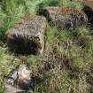
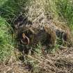
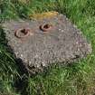
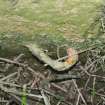
Twenty-five concrete blocks that once formed the anchor points of this mooring have been dug-out from the pits in the ground in which they were cast and randomly re-deposited along the SE edge of the old harbour (NS46NE 166). At least nineteen of the blocks measure about 0.8m long, 0.6m wide and 0.6m square (2ft-8ins x 2ft x 2ft). The upper surface of some extrude at one end where the lip of the concrete was not confined by the edges of the pit, while others taper slightly from top to bottom. Most would appear to have been originally equipped with an off-centred, asymmetric iron loop in its upper surface, although these are preserved in only four of the blocks. However, one block exhibits an iron pin to which is attached a ring, together with the stump of what may have been another. Two blocks measure about 0.6m long, one being equipped with two iron pins and rings; another measures about 0.4m long, while a third measuring about 0.3m long is also equipped with a pin and ring. In addition, two of the four blocks associated with the central winch survive. These measure about 0.95m long, 0.6m broad and 0.3m thick (3ft x 2ft x 1ft).
Visited by HES, Survey and Recording (ATW, AKK) 4 May 2017.


