
Pricing Change
New pricing for orders of material from this site will come into place shortly. Charges for supply of digital images, digitisation on demand, prints and licensing will be altered.
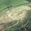
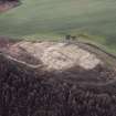
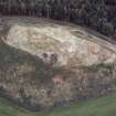
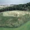
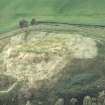
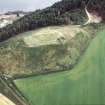
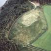
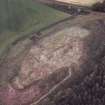
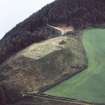
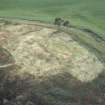
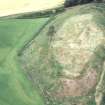
Ormond Hill


Drain (20th Century)
Site Name Ormond Hill
Classification Drain (20th Century)
Alternative Name(s) Moray Firth
Canmore ID 287482
Site Number NH65SE 72
NGR NH 696 535
Datum OSGB36 - NGR
Permalink http://canmore.org.uk/site/287482


- Council Highland
- Parish Avoch
- Former Region Highland
- Former District Ross And Cromarty
- Former County Ross And Cromarty
NH65SE 72 696 535
Drain cover and protection.
Square metal cover with roughly square concrete and cobble surround. Modern and probably connected to the sewage works inland at this point.
CFA/MORA Coastal Assessment Survey 1998.

