
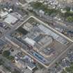
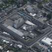
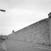
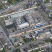
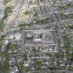
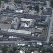
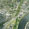
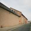
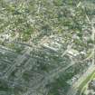
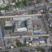
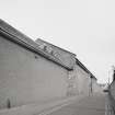
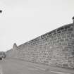
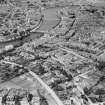
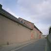
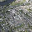
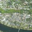
Inverness, Duffy Drive, Hm Prison Porterfield, Prison Wall


Wall (Period Unassigned)
Site Name Inverness, Duffy Drive, Hm Prison Porterfield, Prison Wall
Classification Wall (Period Unassigned)
Canmore ID 287313
Site Number NH64NE 800.01
NGR NH 66833 44878
NGR Description Centred NH 66833 44878
Datum OSGB36 - NGR
Permalink http://canmore.org.uk/site/287313


- Council Highland
- Parish Inverness And Bona
- Former Region Highland
- Former District Inverness
- Former County Inverness-shire
NH64NE 800.01 centred 66833 44878

