Burleigh
Policies (Post Medieval)(Possible)
Site Name Burleigh
Classification Policies (Post Medieval)(Possible)
Canmore ID 27902
Site Number NO10SW 30
NGR NO 12819 04457
Datum OSGB36 - NGR
Permalink http://canmore.org.uk/site/27902
- Council Perth And Kinross
- Parish Orwell
- Former Region Tayside
- Former District Perth And Kinross
- Former County Kinross-shire
NO10SW 30 NT 12819 04457
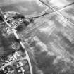
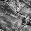
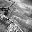
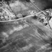
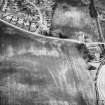
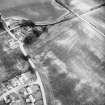
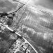
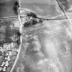
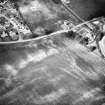
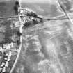
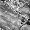
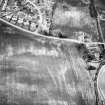
Linear cropmarks recorded on oblique aerial photographs (RCAHMSAP 1986) may be elements of a designed landscape in the policies around Burleigh Castle.
Information from RCAHMS (OGS), 28 April 2008
Field Visit (22 March 2023)
NO 12885 04319 to NO 12783 04535 Linear parallel ditches visible in aerial photos. The ditches are approx 250m long and 50m apart with a splay towards the NW end. The features are suggested as designed garden elements of the policies surrounding Burleigh Castle slightly further NE, but could conceivably be a continuation of the Prehistoric cursus on the same alignment, all be it on a different line. Not visible during walkover survey.
Information from D Bowler - Alder Archaeology Ltd.
OASIS ID: alderarc1-518134


