
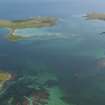
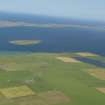
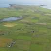
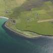
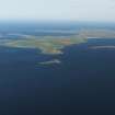
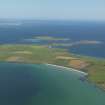
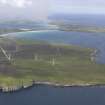
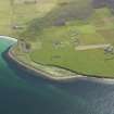
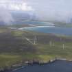
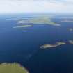
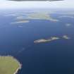
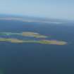
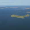
Stronsay, General


General View (Period Unassigned)
Site Name Stronsay, General
Classification General View (Period Unassigned)
Canmore ID 265715
Site Number HY62SE 39
NGR HY 67 24
Datum OSGB36 - NGR
Permalink http://canmore.org.uk/site/265715


- Council Orkney Islands
- Parish Stronsay
- Former Region Orkney Islands Area
- Former District Orkney
- Former County Orkney
NMRS REFERENCE:
Orkney Islands, general sites:
Burray, general: ND49NE 36
Eday, general: HY53SE 26
Egilsay, general: HY43SE 16
Flotta, general: ND39SE 65
Hoy, general: ND29NE 12
Mainland, general: HY41SW 248
North Ronaldsay, general: HY75SE 57
Papa Westray, general: HY45SE 100
Rousay, general: HY43SW 49
Sanday, general: HY64SE 111
Shapinsay, general: HY51NW 66
South Walls, general: ND38NW 58
Stronsay, general: HY62SE 39
South Ronaldsay, general: ND48NE 26
Westray, general: HY44NW 0

