Monzie, Witches' Stone
Standing Stone (Prehistoric)
Site Name Monzie, Witches' Stone
Classification Standing Stone (Prehistoric)
Alternative Name(s) Monzie Castle Policies; Kor Stone
Canmore ID 25448
Site Number NN82SE 27
NGR NN 87979 24320
Datum OSGB36 - NGR
Permalink http://canmore.org.uk/site/25448
- Council Perth And Kinross
- Parish Crieff
- Former Region Tayside
- Former District Perth And Kinross
- Former County Perthshire
NN82SE 27 8798 2431
(NN 8798 2429) Standing Stone (NR)
OS 6" map (1959)
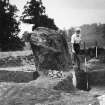
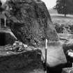
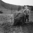
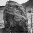
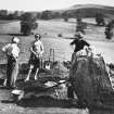
A single standing stone, 4ft by 3ft and 5ft high.
J R Allen 1882
Stands in the middle of a causeway 6 yds wide, like a Roman road. Immediately to the SE is a small flat round mound, diameter 5 yds., neat and untouched. No stones or stone-holes. ? A burial mound and grave-stone.
OS 6" map annotated by O G S Crawford, 9 June 1936.
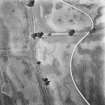
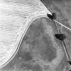
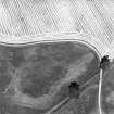
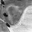
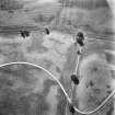
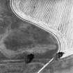
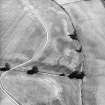
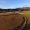
NN 8798 2431. The standing stone (incorrectly positioned on old OS 25") is as described above. The causeway mentioned by Crawford extends c.50.0m to the west of the stone and c.70.0m to the east; its purpose is uncertain. The flat mound is now too vague to interpret.
Visited by OS (RD), 24 November 1966.
Field Visit (26 September 1996)
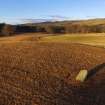
This stone is situated in an arable field to the S of the drive leading to Monzie Castle. It measures 1.2m from WNW to ESE by 0.9m transversely and stands 1.7m high. The stone leans to the N. Neither the causeway nor the mound recorded by Crawford in 1936 could be seen on the date of visit.
Visited by RCAHMS (SDB), 26 September 1996.


