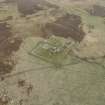
Rousay, Tafts
Farmhouse (17th Century)(Possible), Farmstead (Post Medieval), Kiln Barn (19th Century)
Site Name Rousay, Tafts
Classification Farmhouse (17th Century)(Possible), Farmstead (Post Medieval), Kiln Barn (19th Century)
Canmore ID 2313
Site Number HY33SE 44
NGR HY 3731 3257
Datum OSGB36 - NGR
Permalink http://canmore.org.uk/site/2313
- Council Orkney Islands
- Parish Rousay And Egilsay
- Former Region Orkney Islands Area
- Former District Orkney
- Former County Orkney
HY33SE 44 3731 3257
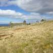
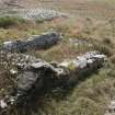
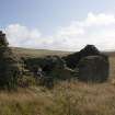
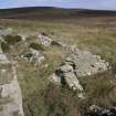
A farmstead comprising four unroofed buildings and two enclosures, a separate enclosure lying approximately 200m to the SSW and a head-dyke are depicted on the 1st edition of the OS 6-inch map (Orkney and Shetland (Orkney) 1882, sheet lxxxiv). The head-dyke is conjoined to those of the farmsteads of Breck (HY33SE 54) and Croolea (HY33SE 56).
Two unroofed buildings and three enclosures are shown on the current edition of the OS 1:10000 map (1977).
Information from RCAHMS (SAH) 11 December 2000
Field Visit (August 1979)
Tofts HY 3731 3257 HY33SE
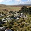
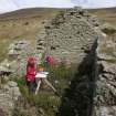
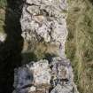
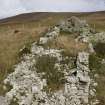
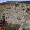
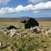
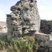
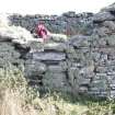
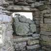
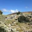
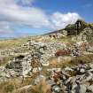
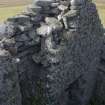
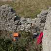
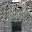
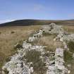
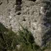
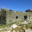
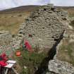
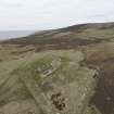
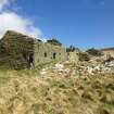
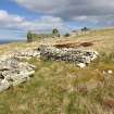
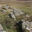
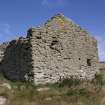
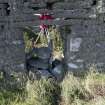
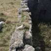
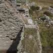
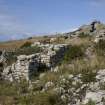
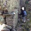
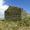
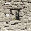
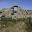
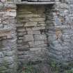
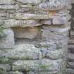
The house of Tofts is the centrepiece of the cleared tunship of Ouandal, but it was perhaps once a tunship in itself; it is documented back to 1601 and has been claimed to be the oldest two-storeyed house in Orkney. The building, which has crow-stepped gables and double-splayed windows fitted for glass, is ruinous and it is structurally giving cause for concern.
RCAHMS 1982, visited August 1979
(Clouston 1924, 11-14; Harris, undated; Thomson 1981, 43-7; OR 485)
Publication Account (1996)
This ruined building is thought to be the oldest two-storey house in Orkney, for its existence is recorded in 1601. It is a plain stone structure with crowstepped gables and double-splayed windows. There were two rooms on the ground floor, separated by a cross-passage, and a stair led from one of them to the two rooms on the upper floor. As at Corrigall (no. 23), the dwelling ho use was separate from its outbuildings, here consisting of a barn with a corn-kiln and a by relying alongside the house. The term taft or toft means simply a house and its immediate surroundings, and this building was once the principal house in the crofting township of Quandale. Although Tafts was renovated in the early 19th century, all sixteen households in the township were cleared to make way for sheep in 1845, the worst example of total clearance in the name of ' improvement ' that Orkney suffered.
Some 400m to the south-south-east at HY 374321, there is a well-preserved example of a crescentic burnt mound (see chapter 8); excavation has revealed a rectangular stone setting.
Information from ‘Exploring Scotland’s Heritage: Orkney’, (1996).
Field Visit (25 October 2007 - 13 November 2007)
HY 37300 32500 (centred on) A walkover survey covering c275ha took place 25 October–13 November 2007. A total of 138 sites, ranging from Bronze Age burnt mounds and a possible Bronze Age settlement to post-medieval standing buildings, feelie dyke enclosures and kail yards were identified. These include 111 new sites not listed by the RCAHMS.
Rather than being confined to description, this MSc dissertation discusses the landscape of Quandale at an
interpretive level. The aim was to attempt to break down period boundaries and use the same theoretical approach to the prehistoric and historical sites in the field and in later analysis and discussion.
Significant aspects of the earlier landscape include the close relationship between the Bronze Age barrow cemetery, burnt mounds and possible Late Bronze Age dyke in the S part of the study area. These monuments endure and take on new meaning in the later historical landscape. This is demonstrated by the appropriation of some Bronze Age barrows by certain crofts, a practice which is bound up in certain folklore beliefs. Several burnt mounds to the N fell within a large enclosure associated with the 16th-century house of Tafts (HY33SE 44). However, the large burnt mound, the Knowe of Dale (HY33SE 15), is not enclosed. It appears that while some burnt mounds were included, others were excluded from infield enclosures. The later landscape is considered in terms of the tasks of daily life, including the construction of post-medieval earth and stone dykes and aspects of tenure and folklore. Social stratification was reflected in the structures of everyday life and gender in these crofting communities. Quandale is not a relict landscape but a dynamic one with a future.
Dissertation: Orkney SMR, Orkney Library and RCAHMS (intended)
Daniel Lee (Orkney College), 2008
Measured Survey (18 August 2014 - 19 August 2014)
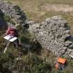
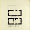
RCAHMS surveyed the farmhouse at Tafts, Rousay with plane-table and alidade between 18-19 August 2014, producing ground and first floor plans at a scale of 1:100. The resultant plans were redrawn in vector graphics software and published at a scale of 1:200.


