Following the launch of trove.scot in February 2025 we are now planning the retiral of some of our webservices. Canmore will be switched off on 24th June 2025. Information about the closure can be found on the HES website: Retiral of HES web services | Historic Environment Scotland
Eigg, Laig
Cairn(S) (Period Unknown), Cairn Cemetery (Pictish), Enclosure (Post Medieval), Field Boundary(S) (Period Unknown), Square Cairn(S) (Pictish)
Site Name Eigg, Laig
Classification Cairn(S) (Period Unknown), Cairn Cemetery (Pictish), Enclosure (Post Medieval), Field Boundary(S) (Period Unknown), Square Cairn(S) (Pictish)
Alternative Name(s) Bay Of Laig; Na Sidheanan
Canmore ID 22145
Site Number NM48NE 12
NGR NM 467 879
NGR Description Centred NM 467 879
Datum OSGB36 - NGR
Permalink http://canmore.org.uk/site/22145
- Council Highland
- Parish Small Isles
- Former Region Highland
- Former District Lochaber
- Former County Inverness-shire
Field Visit (7 May 1972)
NM48NE 12 centred 467 879.
An oval, stone-walled enclosure c. 10m by 8m; probably modern. Also two grass-covered stony mounds, the more westerly 8.5m in diameter, almost completey quarried away, and the other, 10m in diameter and 1.0m high, truncated in the SE by a road. Classification uncertain; possibly cairns, but could be stone clearance contemporary with surrounding depopulation.
Visited by OS 7 May 1972.
Field Visit (5 September 2001)
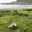
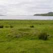
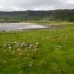
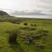
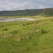
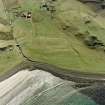
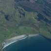
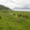
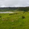
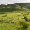
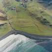
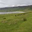
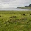
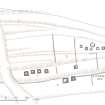
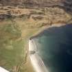
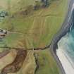
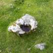
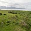
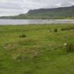
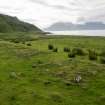
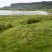
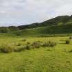
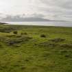
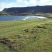
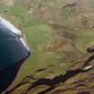
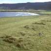
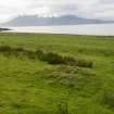
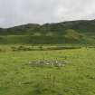
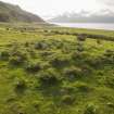
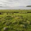
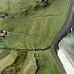
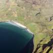
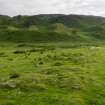
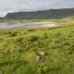
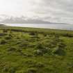
There are at least sixteen small square cairns (192-199, 600-605, 652, 663) and what may be a further fragmentary example (870) situated on the grass-grown storm beaches that rise in a series of terraces from the shore at the south end of the Bay of Laig. Most have suffered disturbance and a hollow in the centre of almost every one suggests a thorough robbing of their contents. Apart from two outliers, the cairns are grouped into two main clusters. The better preserved are to be found in the SW cluster. Here there are at least seven cairns (192-199) laid out in regular alignments on two terraces. The mounds measure from 3.5m to 5m square and stand up to 0.4m high; and six posses traces of kerbs (193-8), while three retain at least one upright cornerstone (192, 197-8). The seven cairns of the NE cluster are less well-preserved, while to the E and W of both groups are the two isolated examples (663, 652), the latter cut by an old burn gully.
The relationship of the cairns to a series of low field banks that are aligned with, or run at right angles to the terraces of the storm beaches, is uncertain. The oval enclosure recorded by the OS in 1972 (NM 46713 87919) is situated to the E and SSE of the two clusters, while the larger of the two cairns identified on that occasion (606) lies about 75m to its SE, immediately adjacent to the NE side of the track that leads to the farmhouse. This grass-grown cairn measures 11.5m from ENE to WSW by 6.8m transversely and up to 1.2m high. The second cairn reported by the OS is possibly situated 12m NW.
Small square cairns are rarely encountered in Western Scotland, one of only a small handful of examples being at Kilphedir, South Uist, investigated in 1998 (NF71NW 19). However, they are more common in eastern Scotland, where a number of excavations have produced radiocarbon dates clustering around the middle of the 1st millennium AD. In addition, at least two cairns at Garbeg in Glenurquhart (NH53SW 15) and Watenan, Caithness (ND34SW 57) have produced fragments of Pictish stones. The presence of this possible cemetery on Eigg brings into focus their relationship with the Dalriadic monastery at Kildonan (NM48NE 24), which itself has produced a Pictish-style cross-slab (NM48NE 24.06).
(EIGG01 192-199, 600-605, 652, 663, 870)
Visited by RCAHMS (SDB and AGCH) 5 September 2001
Measured Survey (5 September 2001)
RCAHMS surveyed the cairns at Laig on 6 September 2001 with plane-table and alidade at a scale of 1:100.
Measured Survey (6 September 2001)
RCAHMS surveyed the cairns at Laig on 6 September 2001 with plane-table and alidade at a scale of 1:100.
Measured Survey (April 2002)
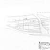
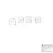
RCAHMS surveyed the square cairn cemetery at Laig in April 2002 with GPS. The GPS linework was then used to produce a drawn plan of the site at a scale of 1:500. The plan was later used as the basis for an illustration that was published in 2016 at a scale of 1:1000 (Hunter, fig. 3.34).
Management (February 2004)
Scheduled (with NM48NE 52) as Na Sidheanan, burial mounds.
Information from Historic Scotland, scheduling document dated 23 February 2004.


