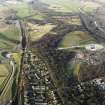
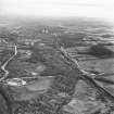
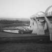
Falkirk, Lime Road, Millennium Wheel
Canal Lift (21st Century)
Site Name Falkirk, Lime Road, Millennium Wheel
Classification Canal Lift (21st Century)
Alternative Name(s) The Falkirk Wheel; Millennium Link; Forth And Clyde Canal; Edinburgh And Glasgow Union Canal; Port Downie
Canmore ID 218994
Site Number NS88SE 198
NGR NS 85241 80134
Datum OSGB36 - NGR
Permalink http://canmore.org.uk/site/218994
First 100 images shown. See the Collections panel (below) for a link to all digital images.
- Council Falkirk
- Parish Falkirk
- Former Region Central
- Former District Falkirk
- Former County Stirlingshire
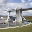
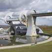
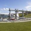
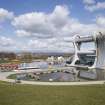
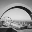
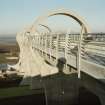
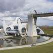
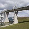
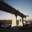
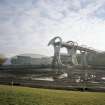
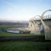
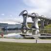
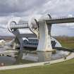
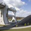
In 2001 the Falkirk Wheel opened as part of the Millennium Link, re-establishing the connection between the Union and the Forth and Clyde Canals. It consists of a rotating wheel, which carries two cassions (gondolas) between the higher, Union Canal, to the Forth and Clyde Canal below. Construction required an extension to the Union Canal, which included an underground tunnel in order to avoid damaging the nearby Antonine Wall. The wheel was the first structure of its kind in the world.
Information from RCAHMS (SC) 21 June 2007
Gifford, J and Walker, F A 2002
NS88SE 198.00 85241 80134 LIN 18
NS87NE 198.01 NS 85248 88002 to NS 85255 79862 Upper Basin (Extends onto map sheet NS87NE)
NS88SE 198.02 NS 85248 80004 to NS 85241 80117 Aqueduct
NS88SE 198.03 NS 85218 80153 Lower Basin and Slipway
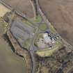
NS88SE 198.04 NS 85269 80147 Visitor Centre
NS88SE 198.05 NS 85236 80226 Lower Lock
NS88SE 198.06 NS 85235 80240 Lower Lock, Footbridge
Location formerly entered as NS 8524 8013.
For (predecessor) Port Maxwell canal locks and basins, see NS87NE 102.
For (new construction: 'Millennium Link') Roughcastle Tunnel (to S), see NS87NE 31.05.
For adjacent (to S) portion of the Antonine Wall, see NS87NE 57.01.
Falkirk Wheel
(Rotating Boat Lift) [NAT]
Current OS map (GIS), March 2006.
Visited in August 2001 to record the moving components of the Falkirk Wheel immediately prior to installation.
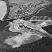
Survey completed in December 2001 to record the site prior to the flooding of the canal basin. At the time, the rotating boat lift had been assembled, and was functioning and undergoing tests.
Information from RCAHMS (MKO), August 2001.
Millennium Wheel and Aqueduct, off Lime Road. By Robert Matthew, Johnson-Marshall and partners, in association with British Waterways, 1999-2000. Prominent display of engineering, the single most ambitious part of the canal reopening.
[Structure described in detail].
J Gifford and F A Walker 2002.
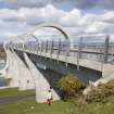
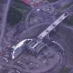
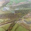
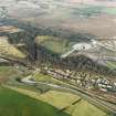
Falkirk Wheel: this rotating canal lift connects the Forth and Clyde Canal [lower] with the Edinburgh and Glasgow Union Canal [upper], which has been extended for about 1.4km along the S side of the Edinburgh-Glasgow railway line. A tunnel (NS87NE 31.05) carries the Union Canal under the railway and the Antonine Wall (NS87NE 57.01), onto the aqueduct leading to the wheel.
The first rotating boat lift in the world, this structure raises and lowes boats 25m. There is a visitor centre at its base.
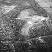
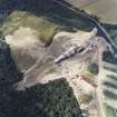
The Falkirk Wheel occupies the site of a former tar distllery, which burnt out in 2002.
G Hutton 2002.
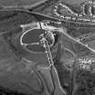
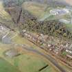
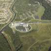
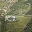
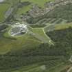
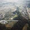
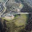
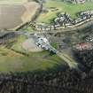
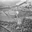
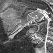
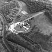
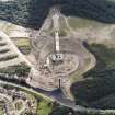
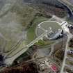
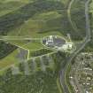
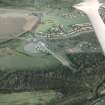
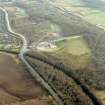
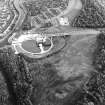
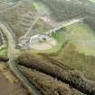
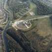
This impressive structure is situated in well-tended recreational parkland to the W of Falkirk. Built against a steep slope to the S, it is visible from a considerable distance around. The upper levels command a broad vista extending across the Campsie Hills, Ochil Hills and the Highland fringe.
The Wheel first turned on 11 December 2001.
Information from RCAHMS (RJCM), 2 March 2006.
Photographic Survey (8 August 2001 - 18 December 2001)
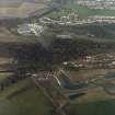
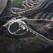
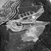
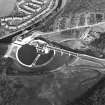
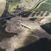
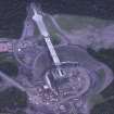
Aerial Photography (3 August 2006)
Perth – Edinburgh city centre – Dunfermline – Kincardine – Erskine – Glasgow city centre – Antonine Wall
Architectural subjects across Edinburgh and south west Fife, with industrial subjects at Erskine and along the Clyde to the centre of Glasgow. Evening light along the Antonine Wall.
Aerial Photography (25 July 2006)
Cumbernauld – Dalkeith – East Lothian – Cockburnspath – Aberlady – Edinburgh
East Lothian has proved patchy with the main arable areas on the coastal plain relatively unproductive, but good returns from the foothills of the Lammermuirs out of parched grass and odd patches of arable.
Project (2007)
This project was undertaken to input site information listed in 'Civil engineering heritage: Scotland - Lowlands and Borders' by R Paxton and J Shipway, 2007.
Publication Account (2007)
The Forth & Clyde and Edinburgh & Glasgow Union Canals ceased to be connected when the Falkirk flight of
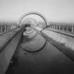
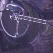
locks (11 by 10 ft rise; 110 ft rise) on the latter was closed in 1933. In 2002 this connection was restored by means of the landmark ‘Falkirk Wheel’ boat lift which formed the centrepiece of a £78 million ‘Millennium Link’ regeneration of the Lowland canals. The Wheel comprises two 35m long rotating arms rigidly connected to each end of a 3.8m diameter central axle 28m long. The arms support, within semicircular gondolas, two water-filled boat-carrying caissons with double watertight doors at each end. These allow transfer of the boats between the caissons and the aqueduct above and the basin below.
The total weight to be moved is about 1800 tonnes, but the machine is essentially a balanced unit with the loads
to be driven by the motors deriving from wind and friction being a small fraction of this figure. There are also
loads caused by the unequal balance of water in the gondolas. The drive system, designed to operate with the
worst foreseeable combination of these loads, operates by means of ten hydraulic gearbox units driving one end of the main axle. Under normal traffic conditions they rotate the arms 1808 in about four minutes.
Each gondola of the Wheel sits in two circular tracks. When the arms are rotated the tendency of wind and friction to move the gondolas out of position is counteracted by the gears at the end of each gondola holding them horizontal and preventing oscillation. Each gondola, which contains about 250 000 litres of water, will transfer up to four boats at a time in about 15 minutes. The design life of the Wheel is 120 years. It is now one of Scotland’s most visited tourist attractions. The project, which includes two locks above the Wheel and one below, and a 168m sprayed-concrete tunnel under the Roman Antonine Wall and Edinburgh & Glasgow main line railway, was carried out for British Waterways – Director Scotland, Jim Stirling, and designed by Arup Scotland. The contractors were Morrison Bachy- Soletanche. The steelwork was fabricated by Butterley
Engineering, Ripley, Derbyshire.
R Paxton and J Shipway 2007
Reproduced from 'Civil Engineering heritage: Scotland - Lowlands and Borders' with kind permission from Thomas Telford Publishers.


