Scheduled Maintenance
Please be advised that this website will undergo scheduled maintenance on the following dates: •
Tuesday 3rd December 11:00-15:00
During these times, some services may be temporarily unavailable. We apologise for any inconvenience this may cause.
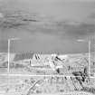
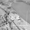
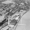
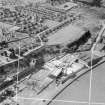
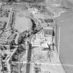
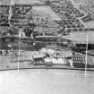
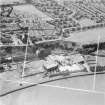
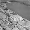
Bo'ness, Distillery
Distillery (18th Century)
Site Name Bo'ness, Distillery
Classification Distillery (18th Century)
Alternative Name(s) The Bo'ness Distillery
Canmore ID 211844
Site Number NS98SE 161
NGR NS 99082 81335
NGR Description Centred NS 9908 8134
Datum OSGB36 - NGR
Permalink http://canmore.org.uk/site/211844
- Council Falkirk
- Parish Bo'ness And Carriden
- Former Region Central
- Former District Falkirk
- Former County West Lothian
NS98SE 161 centred 9908 8134
A Whisky Distillery is depicted on the 1st edition of the OS 6-inch map (Linlithgowshire, 1856 sheet 1) situated at the W end of the Pan Braes.
Originally owned by Tod, Padon and Vannan, later by A & R Vannan, it was purchased in 1874 by James Calder & Co. Ltd. At its peak the distillery had an output of 25,000 gallons of spirit per week and the duty in 1912 was about #1,000,000. (T J Salmon 1913)
The site formerly occupied by the distillery is now an area of waste ground with two or three small buildings.
It is possible that this distillery and one named 'Wallace Paw' Distillery' whose location is unknown, are one and the same. The 'Wallace Paw' was owned by Fargie and Steel & Co. in 1795 and Millar Baird & Co. from 1798-9 when the business was sequestrated. (M S Moss and J R Hume 1981). Salmon in his appendix on Bo'ness (Salmon 1913) notes that there was only one distillery within the town.
Information from RCAHMS (DE), March 2002
Characterisation
This site falls within the Corbiehall and Snab Area of Townscape Character (NS98SE 207), which was defined as part of the RCAHMS Urban Survey Programme 2013. Text relating to the historical development and topography, and present character of the Corbiehall and Snab Area of Townscape Character can be viewed at site NS98SE 207.
Information from RCAHMS (LK), January 2014


