Mounie Castle
Lairds House (17th Century)
Site Name Mounie Castle
Classification Lairds House (17th Century)
Alternative Name(s) Mounie Estate
Canmore ID 18731
Site Number NJ72NE 14
NGR NJ 76668 28671
NGR Description and NJ 76681 28672 (detached block to NE)
Datum OSGB36 - NGR
Permalink http://canmore.org.uk/site/18731
- Council Aberdeenshire
- Parish Daviot
- Former Region Grampian
- Former District Gordon
- Former County Aberdeenshire
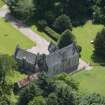
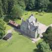
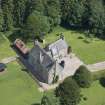
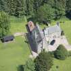
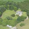
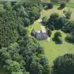
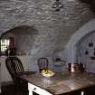
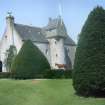
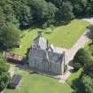
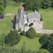
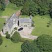
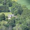
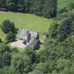
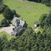
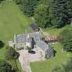
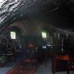
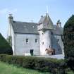
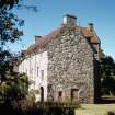
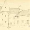
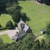
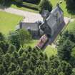
Mounie Castle, 1641. Built by Robert Farquhar, Provost of Aberdeen (and passed in 1701-2 to Alexander Hay of Arnbath and in 1714 to George Seton, hence the last Seton castle). Plain harled three-storey rectangle with fine details such as the circular stair-tower very elegantly corbelled to square to form little cap-house-like top, the crowsteps and the coped chimney. The neat one-and-a-half-storeyed block at the north-east is late 18th century.
Taken from "Aberdeenshire: Donside and Strathbogie - An Illustrated Architectural Guide", by Ian Shepherd, 2006. Published by the Rutland Press http://www.rias.org.uk
NJ72NE 14.00 76668 28671 and 76681 28672 (detached block to NE)
NJ72NE 14.01 76592 28678 Garden House
NJ72NE 14.02 76987 28520 Gates, Gate Piers and Flanking Wall
NJ72NE 14.03 76661 28644 Symbol Stone
(NJ 7665 2865) Mounie Castle (NR) AD 1641.
OS 6" map, (1959)
Mounie Castle, a small fortalice of the Setons, dated 1641 (SDD 1960), restored in 1898 (Allen and Anderson 1903). The building conforms to the T-plan with a long main block of three storeys running N to S, and a circular stair tower projecting westwards midway along the W front. The walling is plain and roughcast and the gables crowstepped. A modern wing has been attached to the SW (Tranter 1962-70).
A rectangular dovecot dated 1694 at Mounie was restored by Sir Robert Lorimer as a garden house in 1898 (SDD 1960).
N Tranter 1962-70; SDD 1960; J R Allen and J Anderson 1903.
Mounie Castle, a good example of a laird's house. The circular stair tower projects eastwards from the middle of the east front, and the modern wing, said to be attached to the SW is actually a separate building extending from the NE. The garden house, previously a dovecot, is at NJ 7658 2866. No dovecot features survive.
Visited by OS (RL) 17 February 1969.
Mounie Castle is still in use as a private residence; it was not recorded as part of the RCAHMS Strath Don survey.
Information from RCAHMS (JRS), 19 April 1999.


