Birsay, Cleatfurrows, St Magnus' Church
Church (17th Century)
Site Name Birsay, Cleatfurrows, St Magnus' Church
Classification Church (17th Century)
Alternative Name(s) Christ Kirk; Christ's Church; Birsay Parish Church; Birsay Kirk
Canmore ID 1838
Site Number HY22NW 8
NGR HY 24759 27702
Datum OSGB36 - NGR
Permalink http://canmore.org.uk/site/1838
































First 100 images shown. See the Collections panel (below) for a link to all digital images.
- Council Orkney Islands
- Parish Birsay And Harray
- Former Region Orkney Islands Area
- Former District Orkney
- Former County Orkney
HY22NW 8 24759 27702
(HY 2478 2770) Christ Kirk (NR) (Site of)
OS 6" map, Orkney, 2nd ed., (1900).
The Parish Church is said to have been the Christ's Church built by Earl Thorfinn but none of the fabric seems to be as old as the 11th century, and the remains of an older church, still known as the Christ's Kirk, can be seen beside it. These remains were planned by Mr Petrie who discovered an apse at the east end. (F Gudmundsson (ed.) 1965)
The name applies to a circular raised wall, grass-covered, at the east end of the Parish Church, said to be the remains of the church founded by Earl Thorfinn between 1050 and 1064. (Name Book 1880)
Name Book 1880.
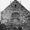
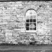
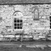
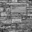
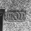
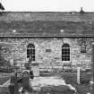
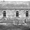
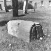
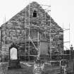
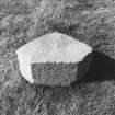
The parish church dates from 1664 but was enlarged or restored in 1760 and 1867. A 13th century chamfered stone serves as the head of a lancet window in the south wall, the sill of which is part of an inscribed lintel, the whole reading 'Mons Bellus' in 16th cerntury Lombardic lettering (see HY22NW 7 - Bishop's Palace, site of).
(A Goodfellow 1965; H Marwick 1924; J P Windwick 1929).
RCAHMS 1946.
Radford believes that the 'Christ Church' of Earl Thorfinn was incorporated into the 12th century cathedral on Brough of Birsay (HY22NW 1).
C A R Radford 1959.
No trace of any building other than the present parish church could be located. 20th century graves occupy the site of the 'circular wall'. The window, with the two stones, is still in situ.
Visited by OS (RL) 25 May 1967.
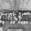
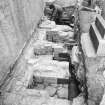
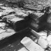
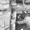
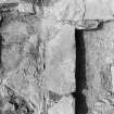
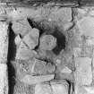
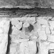
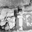
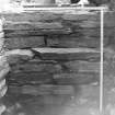
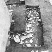
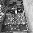
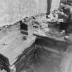
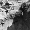
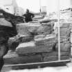
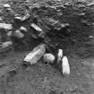
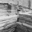
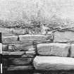
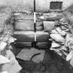
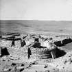
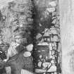
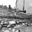
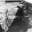
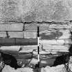
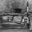
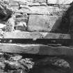
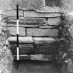
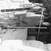
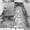
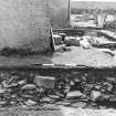
Excavation in advance of restoration clarified the phasing of the post reformation churches on the site and confirmed the existence of an earlier, possibly 12th century, church of some architectural sophistication. An earlier (possibly pre-ecclesiastical) burnt mound deposit was located beneath the new corner of the present church.
J Barber 1982.
The archive from the 1982 excavations by J Barber has been catalogued. It consists of prints and colour transparecies, manuscripts and drawings.
Historic Scotland Archive Project (FO) 1997.
Excavation (1982)
Excavation in advance of restoration clarified the phasing of the post reformation churches on the site and confirmed the existence of an earlier, possibly 12th century, church of some architectural sophistication. An earlier (possibly pre-ecclesiastical) burnt mound deposit was located beneath the new corner of the present church.
J Barber 1982.
Publication Account (1996)
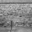
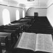
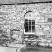
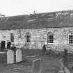
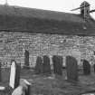
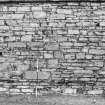
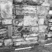
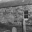
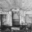
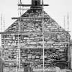
This long rectangular church is more interesting than it first appears. It was built in 1664 and extended a century later, and a small porch was added during alterations in 1867. The bellcote at the west end may date to the original building, but there are also features surviving from structures earl ier than the 1664 church. These include a narrow round-arched doorway (blocked) and a small lancet window in the north wall, and another lancet window in the south wall , all of which were probably part of an earlier church on the site. The south window has as its sill a stone with an inscription. This was once part of a lintel and it reads SBELLUS; another fragment of the same lintel is built into a nearby cottage, and together they read MONSBELLUS. This was the name used in the 16th century for the Bishop of Orkney's residence at Birsay, and it is likely that this lintel once embellished the episcopal palace.
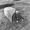
Inside the church are a small late medieval font and a 17th-century graveslab, while in the churchyard may be seen several 18th-century graveslabs. Excavation close to the church wall has revealed foundations likely to belong to the pre-1664 church, which is recorded as having been cruciform in plan.
Information from ‘Exploring Scotland’s Heritage: Orkney’, (1996).


