
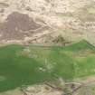
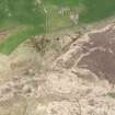
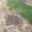
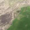
Craigiecool


Building (Post Medieval)
Site Name Craigiecool
Classification Building (Post Medieval)
Canmore ID 175474
Site Number NX16NE 171
NGR NX 18871 66498
NGR Description Centre
Datum OSGB36 - NGR
Permalink http://canmore.org.uk/site/175474


- Council Dumfries And Galloway
- Parish New Luce
- Former Region Dumfries And Galloway
- Former District Wigtown
- Former County Wigtownshire
Note (22 November 2021)
The location, classification and period of this site have been reviewed and changed from BUILDING (PERIOD UNASSIGNED).
Note
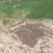
One unroofed building is depicted on the 1st edition of the OS 6-inch map (Wigtonshire 1848, sheet 11), but it is not shown on the current edition of the OS 1:10000 map (1978).
Information from RCAHMS (SAH) 1 October 1999

