Pricing Change
New pricing for orders of material from this site will come into place shortly. Charges for supply of digital images, digitisation on demand, prints and licensing will be altered.
Wemyss Cemetery
Cemetery (19th Century)
Site Name Wemyss Cemetery
Classification Cemetery (19th Century)
Canmore ID 153345
Site Number NT39NW 236
NGR NT 3420 9705
Datum OSGB36 - NGR
Permalink http://canmore.org.uk/site/153345
- Council Fife
- Parish Wemyss
- Former Region Fife
- Former District Kirkcaldy
- Former County Fife
Resistivity (14 July 2019)
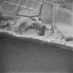
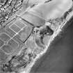
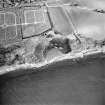
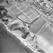
NT 34339 97152 On Sunday 14th July 2019, members of the Edinburgh Archaeological Field Society (EAFS) carried out resistivity survey of an 80m x 40m area along the south eastern edge of Wemyss and Macduff cemetery. Two tentative anomalies were detected. In the westernmost grid of the survey area was a circular area of very low resistance, approximately 4m in diameter. Extending across the two south easternmost grids, adjacent to Macduff’s Castle was a curvilinear feature of higher resistance which appears to cut across the more amorphous area of very low resistance.
Information from J Hambly - SCAPE Trust
OASIS ID: thescape1-504522
Note (1 May 2024)
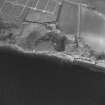
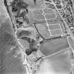
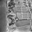
A cemetery is depicted on the 2nd edition of the OS 6-inch map (1896). An enlarged cemetery is visible on the 3rd edition of the OS 6-inch map (1920). A further enlarged cemetery digitised from orthoimagery provided by Getmapping PLC. Core ID: 4960601. OS 1km map square NT3497 flown on 29 June 2023.
Information from HES (D Watson) 1 May 2024


