
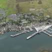
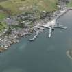
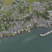
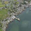
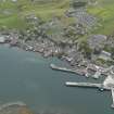
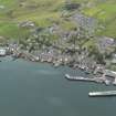
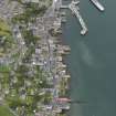
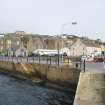
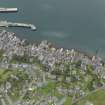
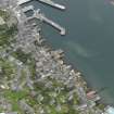
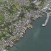
Stromness Harbour, New Pier


Pier (Period Unassigned)
Site Name Stromness Harbour, New Pier
Classification Pier (Period Unassigned)
Canmore ID 153322
Site Number HY20NE 88.02
NGR HY 2551 0913
Datum OSGB36 - NGR
Permalink http://canmore.org.uk/site/153322


- Council Orkney Islands
- Parish Stromness
- Former Region Orkney Islands Area
- Former District Orkney
- Former County Orkney

