|
Photographs and Off-line Digital Images |
A 23090 |
List C Survey |
Entrance facade |
1975 |
Item Level |
|
|
Photographs and Off-line Digital Images |
A 23091 |
List C Survey |
Side elevation |
1975 |
Item Level |
|
|
Photographs and Off-line Digital Images |
A 23092 |
List C Survey |
Side elevation |
1975 |
Item Level |
|
|
Photographs and Off-line Digital Images |
A 23093 |
List C Survey |
Side elevation |
1975 |
Item Level |
|
|
Photographs and Off-line Digital Images |
N 94 |
|
Entrance facade from driveway |
5/1965 |
Item Level |
|
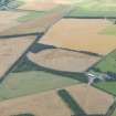 |
On-line Digital Images |
DP 160767 |
RCAHMS Aerial Photography Digital |
General oblique aerial view of the cropmarks at Balblair, looking WSW. |
13/8/2013 |
Item Level |
|
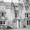 |
On-line Digital Images |
SC 1642684 |
List C Survey |
Entrance facade |
1975 |
Item Level |
|
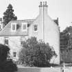 |
On-line Digital Images |
SC 1642685 |
List C Survey |
Side elevation |
1975 |
Item Level |
|
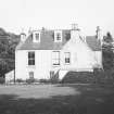 |
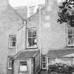
On-line Digital Images |
SC 1642686 |
List C Survey |
Side elevation |
1975 |
Item Level |
|
 |
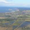
On-line Digital Images |
SC 1642687 |
List C Survey |
Side elevation |
1975 |
Item Level |
|
 |
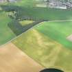
On-line Digital Images |
DP 341074 |
Papers of James Sloan Bone, landscape historian, Inverness, Highland, Scotland |
Aerial view of Nairn, looking NE. |
6/2/2008 |
Item Level |
|
 |
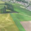
On-line Digital Images |
DP 342217 |
Papers of James Sloan Bone, landscape historian, Inverness, Highland, Scotland |
Aerial view of Balblair, Nairn, looking N. |
20/7/2010 |
Item Level |
|
 |
On-line Digital Images |
DP 342219 |
Papers of James Sloan Bone, landscape historian, Inverness, Highland, Scotland |
Aerial view of Balblair, Nairn, looking N. |
20/7/2010 |
Item Level |
|
 |
On-line Digital Images |
SC 2367516 |
Records of the Ordnance Survey, Southampton, Hampshire, England |
Balblair, NH85NE 8, Ordnance Survey index card, Recto |
c. 1958 |
Item Level |
|
 |
On-line Digital Images |
SC 2367517 |
Records of the Ordnance Survey, Southampton, Hampshire, England |
Balblair, NH85NE 8, Ordnance Survey index card, Recto |
c. 1958 |
Item Level |
|
|
All Other |
551 166/1/1 |
Records of the Ordnance Survey, Southampton, Hampshire, England |
Archaeological site card index ('495' cards) |
1947 |
Sub-Group Level |
|