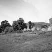
Jerah
Archaeological Landscape (Post Medieval)
Site Name Jerah
Classification Archaeological Landscape (Post Medieval)
Canmore ID 145015
Site Number NS89NW 63
NGR NS 8415 9915
Datum OSGB36 - NGR
Permalink http://canmore.org.uk/site/145015
- Council Stirling
- Parish Logie (Stirling)
- Former Region Central
- Former District Stirling
- Former County Stirlingshire
Field Visit (5 May 1997)
NS89NW 63.00 centred on 8415 9915
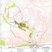
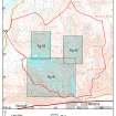
NS89NW 63.01 NS 8384 9915 Farmstead; Field-system; Trackway (MENS97 90-4)
NS89NW 63.02 NS 8410 9910 Field-system
NS89NW 63.03 NS 8405 9938 Building (MENS97 95) Sheepfold (possible)
NS89NW 63.04 NS 8408 9953 Buildings (MENS97 96, 97)
NS89NW 63.05 NS 8467 9976 Buildings (MENS97 118-21)
NS89NW 63.06 NS 8460 9986 Sheepfold (possible); Hut (MENS97 122, 123)
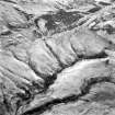
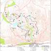
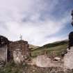
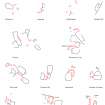
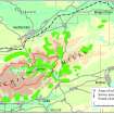
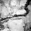
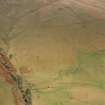
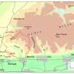
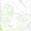
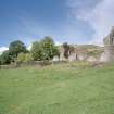
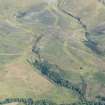
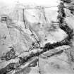
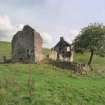
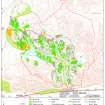
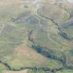
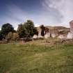
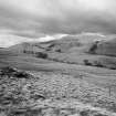
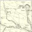
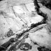
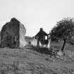
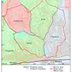
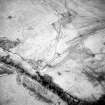
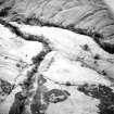
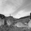
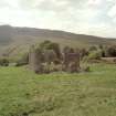
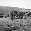
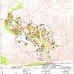
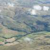
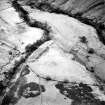
The spur between the Crunie Burn and the Third Inchna Burn is covered by a patchwork of cultivation remains and settlement. The farmstead of Jerah (63.01) is situated on the E bank of the Crunie Burn and has provided the focus for recent settlement. A further building at Red Brae (NS 89 NW 53) dates to the 19th century. Two buildings (63.04) on a terrace higher up the hill and a group of turf-walled buildings (63.05) and huts (63.06) at the NE side of the spur are earlier in date. The field-system (63.02) comprises two distinct phases. An Improvement-period field-system occupies the lower ground and has slighted elements of an earlier field-system which lies on the higher ground. This pre-Improvement field-system has two distinct phases and includes traces of at least two distinct types of rig. What may be buchts for managing sheep lie at two locations on the spur (63.03, 63.06).
(MENS97 90-7, 118-23)
Visited by RCAHMS (DCC ) 5 May 1997


