Cockburnspath Station
Railway Station (19th Century)
Site Name Cockburnspath Station
Classification Railway Station (19th Century)
Alternative Name(s) Cove; Pathhead; Cockburnspath, Railway Station
Canmore ID 128410
Site Number NT77SE 76
NGR NT 77570 71690
Datum OSGB36 - NGR
Permalink http://canmore.org.uk/site/128410
- Council Scottish Borders, The
- Parish Cockburnspath
- Former Region Borders
- Former District Berwickshire
- Former County Berwickshire
NT77SE 76 77570 71690
Sta (dis) [NAT]
OS 1:10,000 map, 1987.
NT77SE 76.01 NT 77582 71703 Station House
NT77SE 76.02 NT 77585 71747 Station Cottage
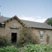
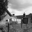
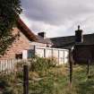
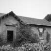
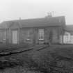
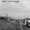
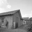
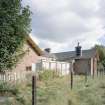
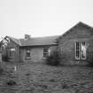
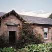
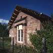
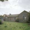
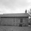
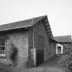
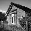
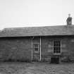
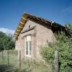
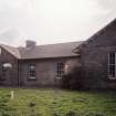
(Location cited as NT 776 717). Cockburnspath Station, opened 1846 by the North British Rly. A two-platform through station; the main block is on the up platform. A single-storey rubble building on an H plan, with overhanging eaves.
J R Hume 1976.
This intermediate station on the Newcastle-Edinburgh portion of the London (King's Cross) - Edinburgh 'East Coast Main Line' was opened by the North British Rly company on 22 June 1846 and closed to regular passenger traffic on 18 June 1951. The line itself remains in regular use by passenger traffic, and has been electrified.
Information from RCAHMS (RJCM), 25 March 1998.
R V J Butt 1995.
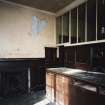
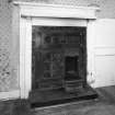
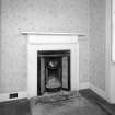
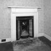
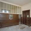
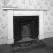
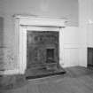
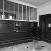
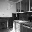
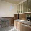
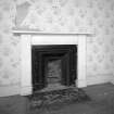
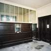
Opened in 1846 by the North British Railway, Cockburnspath was a two-platform through station, the offices being situated on the S-bound platform. The station closed in 1951, although the railway itself remains in operation as a section of the Edinburgh to London main line. Since its closure, part of the offices continued to be occupied as a dwelling, but the former booking office remaining relatively intact. The building itself is roughly 'H'-plan and single-storeyed, is built from local dressed pink sandstone, and has a gabled slate roof with deep overhanging eaves. At the time of survey in 2002, the building was in the process of being refurbished and converted into a dwelling.
Information from RCAHMS (MKO), 2002.
Station (disused) [NAT]
OS (GIS) MasterMap, October 2010.


