
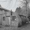
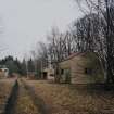
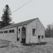
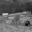
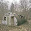
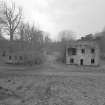
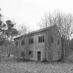
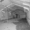
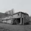
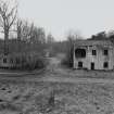
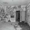
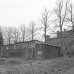
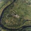
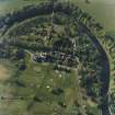
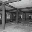
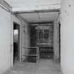
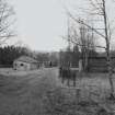
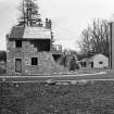
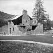
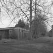
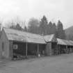
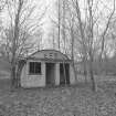
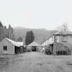
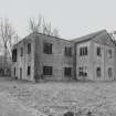
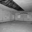
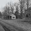
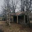
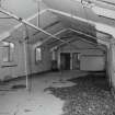
Taymouth Castle, Military Camp


Military Camp (20th Century)
Site Name Taymouth Castle, Military Camp
Classification Military Camp (20th Century)
Alternative Name(s) Taymouth Castle Policies, The Beeches
Canmore ID 127609
Site Number NN74NE 14.15
NGR NN 7835 4665
NGR Description Centred NO 7835 4665
Datum OSGB36 - NGR
Permalink http://canmore.org.uk/site/127609


First 100 images shown. See the Collections panel (below) for a link to all digital images.
- Council Perth And Kinross
- Parish Kenmore (Perth And Kinross)
- Former Region Tayside
- Former District Perth And Kinross
- Former County Perthshire
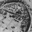
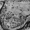
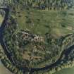
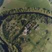
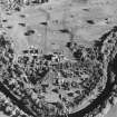
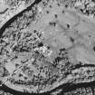
NN74NE 14.15 centred 7835 4665
Camp Site (disused) [NAT]
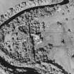
OS 1:2500 map, 1981.
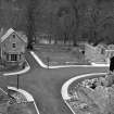
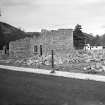
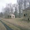
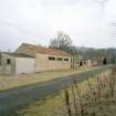
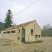
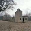
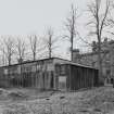
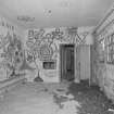
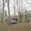
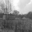
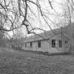
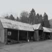
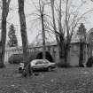
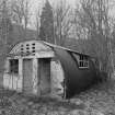
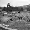
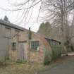
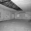
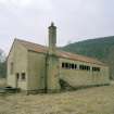
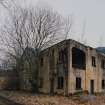
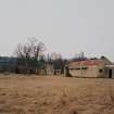
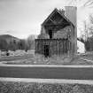
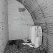
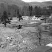
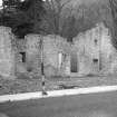
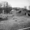
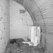
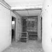
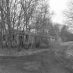
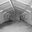
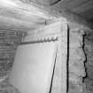
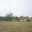
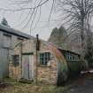
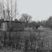
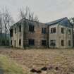
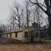
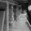
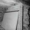
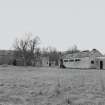
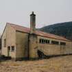
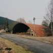
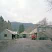
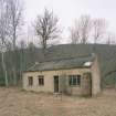
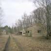
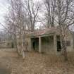
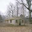
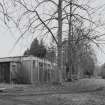
In 1999 a watching brief was carried out during the laying of a new pipeline along the west side of the castle. During the second world war this area had been occupied by a camp housing Polish soldiers and a few of the camp buildings are still standing. During the watching brief snow obscured the base of the excavated corridor. The pipe trench excavation, however, revealed brick and concrete rubble, remains of former World War Two camp buildings, a sewer, and a cast iron pipe. Below the building remains truncated garden soil 0.20m thick had survived in places. Where the corridor intercepted the roadway between the Chinese Bridge and the Castle, an alignment of natural stones laid flat formed a kerb for an earlier road surface. Apart from the kerb no remains of earlier garden features were observed.
R Cachart 1999

