
Pricing Change
New pricing for orders of material from this site will come into place shortly. Charges for supply of digital images, digitisation on demand, prints and licensing will be altered.
Scheduled Maintenance Notice
Please be advised that this website will undergo scheduled maintenance starting on Thursday, 30th January at 11:00 AM and will last until Friday, 31st January at 10:00 AM.
During this time, the site and certain functions may be partially or fully unavailable. We apologise for any inconvenience this may cause.
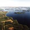
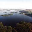
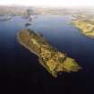
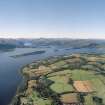
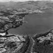
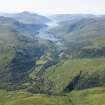
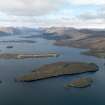
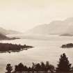
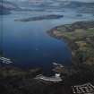
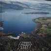
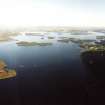
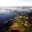
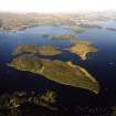
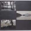
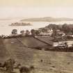
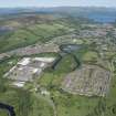
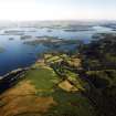
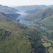
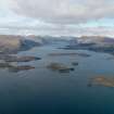
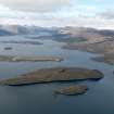
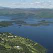
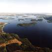
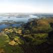
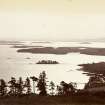
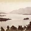
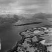
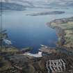
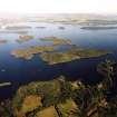
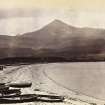
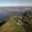
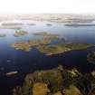
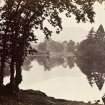
Loch Lomond, General


General View (Period Unassigned)
Site Name Loch Lomond, General
Classification General View (Period Unassigned)
Canmore ID 127497
Site Number NS39SE 63
NGR NS 37912 92639
NGR Description from NN 31997 15815 to NS 38578 82612
Datum OSGB36 - NGR
Permalink http://canmore.org.uk/site/127497


- Council Argyll And Bute
- Parish Luss
- Former Region Strathclyde
- Former District Dumbarton
- Former County Dunbartonshire
NS39SE 63 37912 92639
Loch Lomond falls across the following map sheets; NN31NW, NN31SW, NN30NW, NN30SW, NS39NE, NS39SE, NS38NE, NS38SE and NS49SW.

