
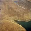
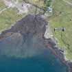
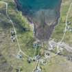
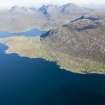
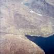
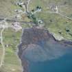
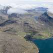
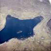
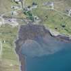
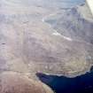
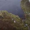
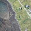
Harris, Bunaveneadar


Head Dyke (Post Medieval), Lazy Beds (Post Medieval), Township (Period Unassigned)
Site Name Harris, Bunaveneadar
Classification Head Dyke (Post Medieval), Lazy Beds (Post Medieval), Township (Period Unassigned)
Alternative Name(s) Bunavoneadar; Bun Abhainn Eadarra
Canmore ID 122284
Site Number NB10SW 8
NGR NB 1300 0420
NGR Description Centred on NB 1300 0420
Datum OSGB36 - NGR
Permalink http://canmore.org.uk/site/122284


- Council Western Isles
- Parish Harris
- Former Region Western Isles Islands Area
- Former District Western Isles
- Former County Inverness-shire
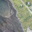
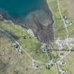
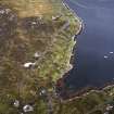
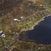
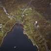
NB10SW 8 centred on 1300 0420
see also NB10SW 5 centred on 1310 0397 Whaling Station
A township comprising two roofed, two partially roofed, four unroofed buildings, two enclosures, a sheepfold and a head-dyke is depicted on the 1st edition of the OS 6-inch map (Inverness-shire, Island of Harris 1881, sheet x). Eighteen roofed, nine unroofed buildings, several enclosures, some field walls and part of a head-dyke are shown on the current edition of the OS 1:10000 map (1973).
Information from RCAHMS (SAH) 21 February 1997

