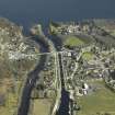
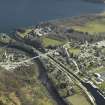
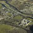
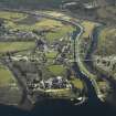
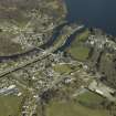
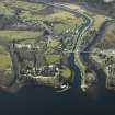
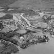
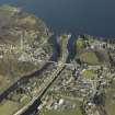
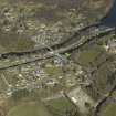
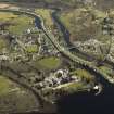
Fort Augustus, Old Bridge Of Oich
Road Bridge (18th Century)
Site Name Fort Augustus, Old Bridge Of Oich
Classification Road Bridge (18th Century)
Alternative Name(s) Old Oich Bridge; Old Fort Augustus Bridge; Wooden Bridge, Fort Augustus; River Oich
Canmore ID 12202
Site Number NH30NE 18
NGR NH 38074 09375
Datum OSGB36 - NGR
Permalink http://canmore.org.uk/site/12202
- Council Highland
- Parish Boleskine And Abertarff
- Former Region Highland
- Former District Inverness
- Former County Inverness-shire
NH30NE 18 38174 09375
For successor Fort Augustus Bridge (NH 3789 0927), see NH30NE 46.
Originally Fort Augustus Old Bridge. This partly swept away and the lost portion was replaced with a timber structure known as Bridge of Oich.
(Undated) information in NMRS.
Bridge of Oich was originally a stone bridge of two arches, but some years ago one of the arches was washed away. Only one arch remains, the deficiency being made up by a wooden structure.
OS Name Book 1871
(Old Fort Augustus Bridge consists of a segnental stone arch, a parapet and wide-splayed cut-water, and is continued as a timber bridge of 4 spans.
HBD 22.
(Location cited as NH 380 093). Wooden bridge, Fort Augustus, 19th century. A four-span wooden bridge attached to the single surviving semicircular arch of an older masonry bridge. Now disused and by-passed by a three-span reinforced-concrete bridge (NH30NE 30), faced with masonry and built by Mears and Carus-Wilson, architects, in 1934.
J R Hume 1977.
Bridge of Oich, which is presumably a military bridge, is now closed, the timber portion being in a poor state of repair.
Visited by OS, 28 February 1979 .
Single span of earlier 18th century multi-span bridge survives at north bank, linked to south bank of river by 19th century 4-span wooden trestle bridge. Earlier bridge of rubble, with single segmental dressed arch ring springing from low pier with substantial ashlar triangular cutwaters rising as heavy triangular buttresses.
Now closed to all traffic. Bridge appears complete on Taylor and Skinner's SURVEY AND MAP OF ROADS OF N. BRITAIN (1776) and 1st ed. OS (1871). (Historic Scotland)


