
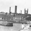
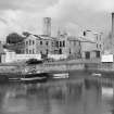
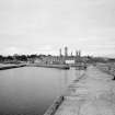
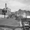
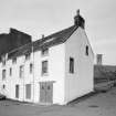
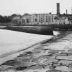
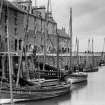
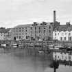
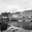
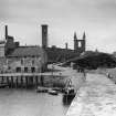
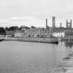
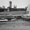
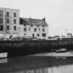
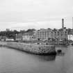
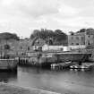
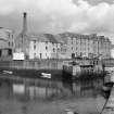
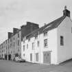
St Andrews, Shorehead, General


General View (Period Unassigned)
Site Name St Andrews, Shorehead, General
Classification General View (Period Unassigned)
Canmore ID 103594
Site Number NO51NW 265
NGR NO 5162 1662
Datum OSGB36 - NGR
Permalink http://canmore.org.uk/site/103594


- Council Fife
- Parish St Andrews And St Leonards
- Former Region Fife
- Former District North East Fife
- Former County Fife

