North Uist, Machair Leathann
Aisled Roundhouse (Iron Age)
Site Name North Uist, Machair Leathann
Classification Aisled Roundhouse (Iron Age)
Alternative Name(s) Sollas; Middlequarter
Canmore ID 10337
Site Number NF87NW 5
NGR NF 8011 7533
Datum OSGB36 - NGR
Permalink http://canmore.org.uk/site/10337
First 100 images shown. See the Collections panel (below) for a link to all digital images.
- Council Western Isles
- Parish North Uist
- Former Region Western Isles Islands Area
- Former District Western Isles
- Former County Inverness-shire
NF87NW 5 8011 7533
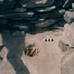
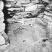
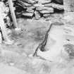
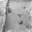
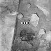
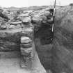
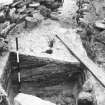
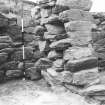
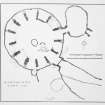
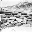
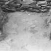
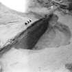
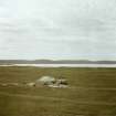
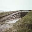
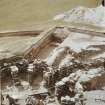
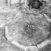
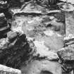
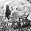
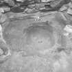
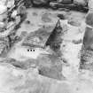
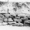
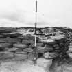
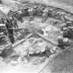
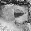
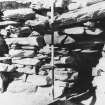
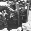
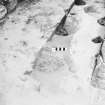
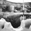
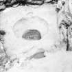
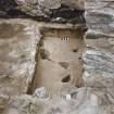
(NF 8013 7559) An aisled round-house, partly excavated by Beveridge, was found in one of the largest of the many grass-covered hillocks of blown sand on Machair Leathann. It is not quite circular and is abnormally large, requiring 14 pieces to support the roof (L Scott 1948).
Finds included hammerstones, slag, cetacean bone and part of an antler, a bronze pin, a bone object and what appears to be an upper quern stone marked by a rude Latin cross. Kitchen midden remains, which included ashes, shells, potsherds etc, were generally scarce (E Beveridge 1911). The finds are in the National Museum of Antiquities of Scotland (NMAS).
(Position of round-house plotted on OS 6"map of the Hebrides, North Uist &c Inverness-shire, 1st ed., (1881) sheet No. xxx, annotated by J G Callender in 1923, following information from E Beveridge. Map now in NMRS)
E Beveridge 1911; L Scott 1948; Proc Soc Antiq Scot 1912
The aisled round-house was filled in by the Air Ministry, c. 1960, but the site of it can still be traced by a considerable scatter of midden material at NF 8019 7571.
Site supplied at 1/2500.
Visited by OS (R D) 20 June 1965
Excavated by Atkinson 1956 (Unpublished)
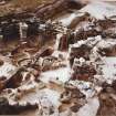
Excavations and report (completed by E Campbell) by Prof. Atkinson (in 1957) locates this aisled round house at NF 8011 7533.
E Campbell, NMRS MS/855, c1988
Note (1928)
Earth-house, Machair Leathann.
Upon Machair Leathann, ½ mile north of Middlequarter and Sollas, is the site of an earth-house, which was investigated many years ago by the late Dr Erskine Beveridge, but of which no traces are now apparent above ground. It was found that the structure comprised fourteen radial chambers, arranged side by side so as to form an irregular circle with an outer diameter ranging from 34 to 37 feet, and enclosing an interior area which measured from 22 to 25 feet across at different parts. There have been two entrances; one by a low and narrow access through a supplementary oval chamber on the east; and the other, of much larger dimensions, communicating directly with what seems to have been an outer courtyard on the south. (Fig. 13.)
For a detailed description of the structure cf. Dr Beveridge's N. Uist, pp. 121-9.
RCAHMS 1928
OS Map: North Uist xxx (unnoted).


