Following the launch of trove.scot in February 2025 we are now planning the retiral of some of our webservices. Canmore will be switched off on 24th June 2025. Information about the closure can be found on the HES website: Retiral of HES web services | Historic Environment Scotland
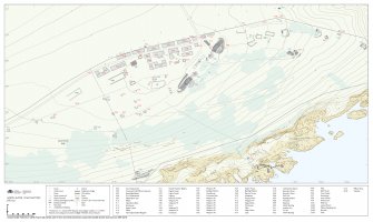
Hyperlinked PDF: Plan of North Sutor Coast Battery, Site No.1
WP 007787
Description Hyperlinked PDF: Plan of North Sutor Coast Battery, Site No.1
Date 2020 to 2022
Collection Historic Environment Scotland
Catalogue Number WP 007787
Category Digital Files (Non-image)
Scope and Content The plan of North Sutor No.1 was developed using a variety of sources that included HES GNSS data, an RAF vertical air photograph (106G UK 751 6036) flown on 31 August 1945 and plans in the Fort Record Book (ADM 7/942). The contours were created using Scottish Public Sector LiDAR (Phase I) data licensed under the Non-Commercial Government Licence v2.0. Copyright Scottish Government and SEPA (2014). The plan, created using vector graphics software, has been archived as an SVG file (Collection Item: GV 008923) and a derived raster image (SC 2216519). This hyperlinked PDF (WP 007787), free to download, allows the user to click on individual numbered features to navigate to the corresponding records on the Canmore website, which include HES site descriptions and photography.
Scale 1:1250
Permalink http://canmore.org.uk/collection/2216520
File Format (PDF) Adobe Acrobat document
Attribution: © Copyright: HES
Licence Type: Internally Generated
You may: copy, display, store and make derivative works [eg documents] solely for licensed personal use at home or solely for licensed educational institution use by staff and students on a secure intranet.
Under these conditions: Display Attribution, No Commercial Use or Sale, No Public Distribution [eg by hand, email, web]


