 |
On-line Digital Images |
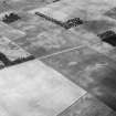
SC 1008296 |
Oblique aerial view centred on the cropmarks of ring ditches and an enclosure at Errol, looking to the NNE. |
17/7/1984 |
Item Level |
 |
On-line Digital Images |
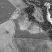
SC 1008403 |
Oblique aerial view centred on the cropmarks of rig, a possible enclosure or long barrow at Rothes with Glenrothes Distillery adjacent, looking to the WNW.
|
17/7/1984 |
Item Level |
 |
On-line Digital Images |
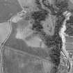
SC 1008404 |
Oblique aerial view centred on the cropmarks of rig, a possible enclosure or long barrow at Rothes with Glenrothes Distillery adjacent, looking to the WNW.
|
17/7/1984 |
Item Level |
 |
On-line Digital Images |
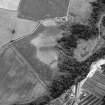
SC 1008405 |
Oblique aerial view centred on the cropmarks of rig, a possible enclosure or long barrow at Rothes with Glenrothes Distillery adjacent, looking to the WSW.
|
17/7/1984 |
Item Level |
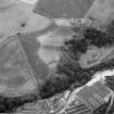 |
On-line Digital Images |
SC 1008406 |
Oblique aerial view centred on the cropmarks of rig, a possible enclosure or long barrow at Rothes with Glenrothes Distillery adjacent, looking to the SW.
|
17/7/1984 |
Item Level |
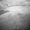 |
On-line Digital Images |
SC 1008408 |
Oblique aerial view of the remains of the fort of Craig Dorney, looking to the SSW. |
17/7/1984 |
Item Level |
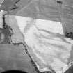 |
On-line Digital Images |
SC 1008411 |
Oblique aerial view centred on the cropmarks of a ring ditch and pits at Lochrie with the cropmarks of a possible ring ditch and pits adjacent at Castlehill, looking to the SW. |
17/7/1984 |
Item Level |
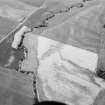 |
On-line Digital Images |
SC 1008412 |
Oblique aerial view centred on the cropmarks of a ring ditch and pits at Lochrie with the cropmarks of a possible ring ditch and pits adjacent at Castlehill, looking to the SW. |
17/7/1984 |
Item Level |
 |
On-line Digital Images |
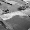
SC 1008424 |
Oblique aerial view centred on the cropmarks of an enclosure, ring ditches, field system and pits at Wester Fintray, looking to the NNE. |
17/7/1984 |
Item Level |
 |
On-line Digital Images |
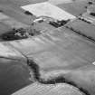
SC 1008425 |
Oblique aerial view centred on the cropmarks of an enclosure, ring ditches, field system and pits at Wester Fintray, looking to the NE. |
17/7/1984 |
Item Level |
 |
On-line Digital Images |
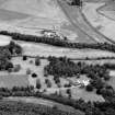
SC 1008430 |
General oblique aerial view centred on Pitcaple Castle with the cropmarks of the enclosure and rig adjacent at Riverbank Wood, looking to the NNW.
|
17/7/1984 |
Item Level |
 |
On-line Digital Images |
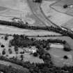
SC 1008431 |
General oblique aerial view centred on Pitcaple Castle with the cropmarks of the enclosure and rig adjacent at Riverbank Wood, looking to the NNW. |
17/7/1984 |
Item Level |
 |
On-line Digital Images |
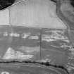
SC 1008432 |
Oblique aerial view centred on the cropmarks of the enclosure, rig, pits and possible rectangular buildings, looking to the NNE. |
17/7/1984 |
Item Level |
 |
On-line Digital Images |
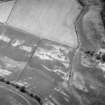
SC 1008443 |
Oblique aerial view centred on the cropmarks of the enclosure, rig, pits and possible rectangular buildings, looking to the NNE. |
17/7/1984 |
Item Level |
 |
On-line Digital Images |
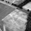
SC 1008444 |
Oblique aerial view centred on the cropmarks of the square barrows and the rig at Pitgaveny House, looking to the SSW. |
17/7/1984 |
Item Level |
 |
On-line Digital Images |
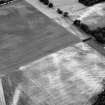
SC 1008445 |
Oblique aerial view centred on the cropmarks of the square barrows and the rig at Pitgaveny House, looking to the S. |
17/7/1984 |
Item Level |
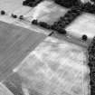 |
On-line Digital Images |
SC 1008446 |
Oblique aerial view centred on the cropmarks of the square barrows and the rig at Pitgaveny House, looking to the SSW. |
17/7/1984 |
Item Level |
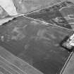 |
On-line Digital Images |
SC 1009910 |
Unidentified |
17/7/1984 |
Item Level |
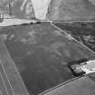 |
On-line Digital Images |
SC 1009911 |
Unidentified |
17/7/1984 |
Item Level |
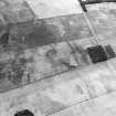 |
On-line Digital Images |
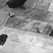
SC 1008291 |
Oblique aerial view centred on the cropmarks of ring ditches and an enclosure at Errol, looking to the WSW. |
17/7/1984 |
Item Level |
 |
On-line Digital Images |
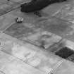
SC 1008292 |
Oblique aerial view centred on the cropmarks of ring ditches and an enclosure at Errol, looking to the SW. |
17/7/1984 |
Item Level |
 |
On-line Digital Images |
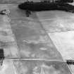
SC 1008293 |
Oblique aerial view centred on the cropmarks of ring ditches and an enclosure at Errol, looking to the SSW. |
17/7/1984 |
Item Level |
 |
On-line Digital Images |
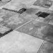
SC 1008294 |
Oblique aerial view centred on the cropmarks of ring ditches and an enclosure at Errol, looking to the SSE. |
17/7/1984 |
Item Level |
 |
On-line Digital Images |
SC 1008295 |
Oblique aerial view centred on the cropmarks of ring ditches and an enclosure at Errol, looking to the NNE. |
17/7/1984 |
Item Level |


