 |
On-line Digital Images |
SC 1005331 |
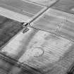
Oblique aerial view centred on the cropmarks of a palisaded enclosure, roundhouse, pits and rig at Suttie, looking to the SSW. |
6/8/1983 |
Item Level |
 |
On-line Digital Images |
SC 1005332 |
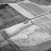
Oblique aerial view centred on the cropmarks of a palisaded enclosure, roundhouse, pits and rig at Suttie, looking to the SSW. |
6/8/1983 |
Item Level |
 |
On-line Digital Images |
SC 1005333 |
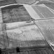
Oblique aerial view centred on the cropmarks of a palisaded enclosure, roundhouse, pits and rig at Suttie, looking to the SSW. |
6/8/1983 |
Item Level |
 |
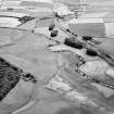
On-line Digital Images |
SC 1005334 |
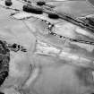
Oblique aerial view centred on the cropmarks of the enclosure, rig, pits and possible rectangular buildings at Legatesden, looking to the SSE. |
6/8/1983 |
Item Level |
 |
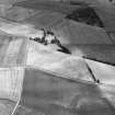
On-line Digital Images |
SC 1005335 |
Oblique aerial view centred on the cropmarks of the enclosure, rig, pits and possible rectangular buildings at Legatesden, looking to the SE. |
6/8/1983 |
Item Level |
 |
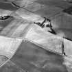
On-line Digital Images |
SC 1005337 |
Oblique aerial view centred on the cropmarks of the unenclosed settlement and ring ditches at Littlemill and Cotetown, looking to the N. |
6/8/1983 |
Item Level |
 |
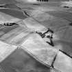
On-line Digital Images |
SC 1005338 |
Oblique aerial view centred on the cropmarks of the unenclosed settlement and ring ditches at Littlemill and Cotetown, looking to the NNW. |
6/8/1983 |
Item Level |
 |
On-line Digital Images |
SC 1005339 |
Oblique aerial view centred on the cropmarks of the unenclosed settlement and ring ditches at Littlemill and Cotetown, looking to the NNW. |
6/8/1983 |
Item Level |
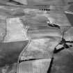 |
On-line Digital Images |
SC 1005340 |
Oblique aerial view centred on the cropmarks of the unenclosed settlement and ring ditches at Littlemill and Cotetown, looking to the W. |
6/8/1983 |
Item Level |
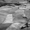 |
On-line Digital Images |
SC 1005341 |
Oblique aerial view centred on the cropmarks of the unenclosed settlement and ring ditches at Littlemill and Cotetown, looking to the WNW. |
6/8/1983 |
Item Level |
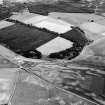 |
On-line Digital Images |
SC 1005344 |
Oblique aerial view centred on the cropmarks of frost wedge polygons and possible pits at Auld Auchindoir, looking to the NE. |
6/8/1983 |
Item Level |
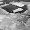 |
On-line Digital Images |
SC 1005345 |
Oblique aerial view centred on the cropmarks of frost wedge polygons and possible pits at Auld Auchindoir, looking to the NE. |
6/8/1983 |
Item Level |
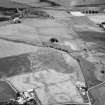 |
On-line Digital Images |
SC 1005346 |
Oblique aerial view centred on cropmarks of geomorphological origin with the site of St Luke's Chapel and well at Clova adjacent, looking to the NW. |
6/8/1983 |
Item Level |
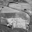 |
On-line Digital Images |
SC 1005347 |
Oblique aerial view centred on cropmarks of geomorphological origin with the site of St Luke's Chapel and well at Clova adjacent, looking to the WNW. |
6/8/1983 |
Item Level |
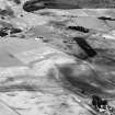 |
On-line Digital Images |
SC 1005348 |
Oblique aerial view centred on the cropmarks of roundhouses and souterrains at Nether Kildrummy, looking to the NE. |
6/8/1983 |
Item Level |
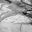 |
On-line Digital Images |
SC 1005349 |
Oblique aerial view centred on the cropmarks of roundhouses and souterrains at Nether Kildrummy, looking to the ENE. |
6/8/1983 |
Item Level |
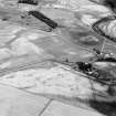 |
On-line Digital Images |
SC 1005350 |
Oblique aerial view centred on the remains of roundhouses and souterrains at Nether Kildrummy, looking to the NE. |
6/8/1983 |
Item Level |
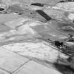 |
On-line Digital Images |
SC 1005351 |
Oblique aerial view centred on the remains of roundhouses and souterrains at Nether Kildrummy, looking to the NE. |
6/8/1983 |
Item Level |
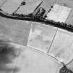 |
On-line Digital Images |
SC 1005352 |
Oblique aerial view centred on the cropmarks of the Roman Temporary Camp at Burnfield with the enclosure at Brownhill Wood adjacent, looking to the NW. |
6/8/1983 |
Item Level |
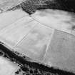 |
On-line Digital Images |
SC 1005353 |
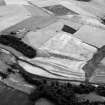
Oblique aerial view centred on the cropmarks of the Roman Temporary Camp at Burnfield with the enclosure at Brownhill Wood adjacent, looking to the ESE. |
6/8/1983 |
Item Level |
 |
On-line Digital Images |
SC 1005354 |
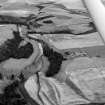
Oblique aerial view centred on the cropmarks of the unenclosed settlement, ring ditches and pits at Ardfour, looking to the ESE. |
6/8/1983 |
Item Level |
 |
On-line Digital Images |
SC 1005355 |
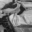
Oblique aerial view centred on the cropmarks of the unenclosed settlement, ring ditches and pits at Ardfour, looking to the NE. |
6/8/1983 |
Item Level |
 |
On-line Digital Images |
SC 1005356 |
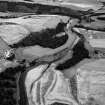
Oblique aerial view centred on the cropmarks of the unenclosed settlement, ring ditches and pits at Ardfour, looking to the NE. |
6/8/1983 |
Item Level |
 |
On-line Digital Images |
SC 1005357 |
Oblique aerial view centred on the cropmarks of the unenclosed settlement, ring ditches and pits at Ardfour, looking to the NE. |
6/8/1983 |
Item Level |


