 |
On-line Digital Images |
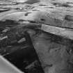
SC 1002028 |
Oblique aerial view centred on the remains of Brown Caterthun fort, looking to the NNE. |
15/6/1983 |
Item Level |
 |
On-line Digital Images |
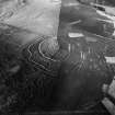
SC 1002259 |
Oblique aerial view centred on the remains of Brown Caterthun fort, looking to the SSW. |
15/6/1983 |
Item Level |
 |
On-line Digital Images |
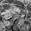
SC 992258 |
Oblique aerial view centred on the remains of clearance cairns and rig at Haugh, looking to the NNW. |
15/6/1983 |
Item Level |
 |
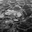
On-line Digital Images |
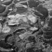
SC 992264 |
Oblique aerial view centred on the remains of clearance cairns and rig at Haugh, looking to the NNW. |
15/6/1983 |
Item Level |
 |
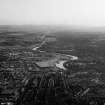
On-line Digital Images |
SC 992265 |
Oblique aerial view centred on the remains of clearance cairns and rig at Haugh, looking to the N. |
15/6/1983 |
Item Level |
 |
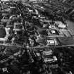
On-line Digital Images |
SC 992282 |
Oblique aerial view centred on Aberdeen and the River Dee, looking to the SW. |
15/6/1983 |
Item Level |
 |
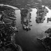
On-line Digital Images |
SC 992286 |
Oblique aerial view centred on Old Aberdeen and the University,looking to the S. |
15/6/1983 |
Item Level |
 |
On-line Digital Images |
SC 992294 |
Oblique aerial view centred on Aberdeen Harbour and the River Dee, looking to the WNW. |
15/6/1983 |
Item Level |
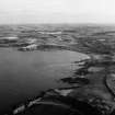 |
On-line Digital Images |
SC 992298 |
Oblique aerial view centred on Old Kirk Shore and Stonehaven Bay, looking to the SW. |
15/6/1983 |
Item Level |
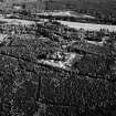 |
On-line Digital Images |
SC 991877 |
Oblique aerial view centred on Glen O'Dee Hospital, Banchory, looking to the S. |
15/6/1983 |
Item Level |
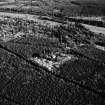 |
On-line Digital Images |
SC 991878 |
Oblique aerial view centred on Glen O'Dee Hospital, Banchory, looking to the SSE. |
15/6/1983 |
Item Level |
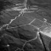 |
On-line Digital Images |
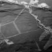
SC 991881 |
Oblique aerial view centred on the remains of a settlement, ring ditches and field system at Burn of Mannie, looking to to the SW. |
15/6/1983 |
Item Level |
 |
On-line Digital Images |
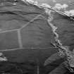
SC 991882 |
Oblique aerial view centred on the remains of a settlement, ring ditches and field system at Burn of Mannie, looking to to the ESE. |
15/6/1983 |
Item Level |
 |
On-line Digital Images |
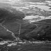
SC 991883 |
Oblique aerial view centred on the remains of a settlement, ring ditches and field system at Burn of Mannie, looking to to the ESE. |
15/6/1983 |
Item Level |
 |
On-line Digital Images |
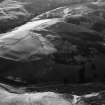
SC 991884 |
Oblique aerial view centred on the remains of a settlement, ring ditches and field system at Burn of Mannie, looking to to the NW. |
15/6/1983 |
Item Level |
 |
On-line Digital Images |
SC 991885 |
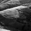
Oblique aerial view centred on the remains of the farmstead, field system, enclosures, longhouses and rig at Slack Den, looking to the NW. |
15/6/1983 |
Item Level |
 |
On-line Digital Images |
SC 991886 |
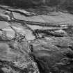
Oblique aerial view centred on the remains of the farmstead, field system, enclosures, longhouses and rig at Slack Den, looking to the WNW. |
15/6/1983 |
Item Level |
 |
On-line Digital Images |
SC 991893 |
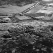
Oblique aerial view centred on the remains of the township, buildings and enclosures at Burn of Dalforth, Glen Esk, looking to the WSW. |
15/6/1983 |
Item Level |
 |
On-line Digital Images |
SC 991894 |
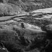
Oblique aerial view centred on the remains of the township, buildings and enclosures at Burn of Dalforth, Glen Esk, looking to the SW. |
15/6/1983 |
Item Level |
 |
On-line Digital Images |
SC 991895 |
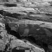
Oblique aerial view centred the remains of a field system and hut circles at Burn of Holmhead, lloking to the NE. |
15/6/1983 |
Item Level |
 |
On-line Digital Images |
SC 991896 |
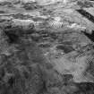
Oblique aerial view centred on the remains of a hut circle, field system, farmstead and rig at Redcastle and Blackhills, looking to the SW. |
15/6/1983 |
Item Level |
 |
On-line Digital Images |
SC 991897 |
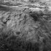
Oblique aerial view centred on the remains of a field system, rig, enclosures and rig at Burn of Keenie, looking to the NNW. |
15/6/1983 |
Item Level |
 |
On-line Digital Images |
SC 991898 |
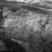
Oblique aerial view centred on the remains of a field system, rig, enclosures and rig at Burn of Keenie, looking to the NNW. |
15/6/1983 |
Item Level |
 |
On-line Digital Images |
SC 991899 |
Oblique aerial view centred on the remains of a township, field system, rig, enclosures and rig at Burn of Keenie, looking to the NNW. |
15/6/1983 |
Item Level |


