 |
On-line Digital Images |
SC 1013689 |
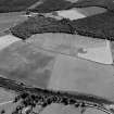
Oblique aerial view centred on the cropmarks of the Roman Temporary Camp at Burnfield with the enclosure at Brownhill Wood adjacent, looking to the ESE. |
21/7/1982 |
Item Level |
 |
On-line Digital Images |
SC 1013690 |
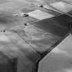
Oblique aerial view centred on the cropmarks of the frost wedge polygons with the farmhouse adjacent at Fingask, looking to the NNE. |
21/7/1982 |
Item Level |
 |
On-line Digital Images |
SC 1013691 |
Unidentified oblique aerial view (A.A.S 1982) |
21/7/1982 |
Item Level |
 |
On-line Digital Images |
SC 1013693 |
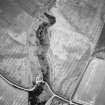
Oblique aerial view centred on the cropmarks of the settlement, ring ditch and soutterain with the cottage adjacent at Boghead, looking to the ENE. |
21/7/1982 |
Item Level |
 |
On-line Digital Images |
SC 1013694 |
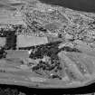
Oblique aerial view centred on Duff House with the golf course adjacent, looking to the NW. |
21/7/1982 |
Item Level |
 |
On-line Digital Images |
SC 1013695 |
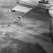
Oblique aerial view centred on the cropmarks of the frost wedge polygons with the farmhouse adjacent at Fingask, looking to the ENE. |
21/7/1982 |
Item Level |
 |
On-line Digital Images |
SC 1013696 |
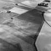
Oblique aerial view centred on the cropmarks of the frost wedge polygons with the farmhouse adjacent at Fingask, looking to the ENE. |
21/7/1982 |
Item Level |
 |
On-line Digital Images |
SC 1013697 |
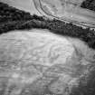
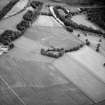
Oblique aerial view centred on the cropmarks of the palisaded enclosure at Boat of Muiresk, looking to the SE. |
21/7/1982 |
Item Level |
 |
On-line Digital Images |
SC 1013698 |
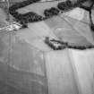
Oblique aerial view centred on the cropmarks of the circular enclosure, ring ditch and linear features at Haughs of Ashogle, looking to the SE. |
21/7/1982 |
Item Level |
 |
On-line Digital Images |
SC 1013699 |
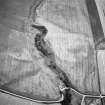
Oblique aerial view centred on the cropmarks of the circular enclosure, ring ditch and linear features at Haughs of Ashogle, looking to the ESE. |
21/7/1982 |
Item Level |
 |
On-line Digital Images |
SC 1013700 |
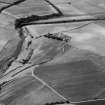
Oblique aerial view centred on the cropmarks of the settlement, ring ditch and soutterain with the cottage adjacent at Boghead, looking to the ENE. |
21/7/1982 |
Item Level |
 |
On-line Digital Images |
SC 1013701 |
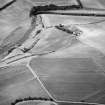
Oblique aerial view centred on the cropmarks of the enclosures and field system with the farmhouse and chapel adjacent at Chapeltown, looking to the NW. |
21/7/1982 |
Item Level |
 |
On-line Digital Images |
SC 1013702 |
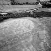
Oblique aerial view centred on the cropmarks of the enclosures and field system with the farmhouse and chapel adjacent at Chapeltown, looking to the NW. |
21/7/1982 |
Item Level |
 |
On-line Digital Images |
SC 1013703 |
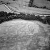
Oblique aerial view centred on the cropmarks of the palisaded enclosure at Boat of Muiresk, looking to the SE. |
21/7/1982 |
Item Level |
 |
On-line Digital Images |
SC 1013704 |
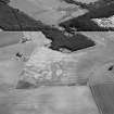
Oblique aerial view centred on the cropmarks of the palisaded enclosure at Boat of Muiresk, looking to the SSE. |
21/7/1982 |
Item Level |
 |
On-line Digital Images |
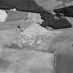
SC 1013653 |
Oblique aerial view centred on the cropmarks of the possible enclosure and pits at Crofts of Course of Kinnoir, looking to the ESE. |
21/7/1982 |
Item Level |
 |
On-line Digital Images |
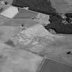
SC 1013655 |
Oblique aerial view centred on the cropmarks of the possible enclosure and pits at Crofts of Course of Kinnoir, looking to the E. |
21/7/1982 |
Item Level |
 |
On-line Digital Images |
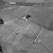
SC 1013656 |
Oblique aerial view centred on the cropmarks of the possible enclosure and pits at Crofts of Course of Kinnoir, looking to the NE. |
21/7/1982 |
Item Level |
 |
On-line Digital Images |
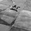
SC 1013657 |
Oblique aerial view centred on the cropmarks of the ring ditch and rig with the farmhouse adjacent at Newton of Ardoyne, looking to the NE. |
21/7/1982 |
Item Level |
 |
On-line Digital Images |
SC 1013658 |
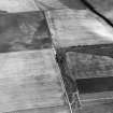
Oblique aerial view centred on the cropmarks of the frost wedge polygons at Backwood Hill, looking to the SE. |
21/7/1982 |
Item Level |
 |
On-line Digital Images |
SC 1013660 |
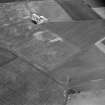
Oblique aerial view centred on the cropmarks of the frost wedge polygons at Backwood Hill, looking to the NE. |
21/7/1982 |
Item Level |
 |
On-line Digital Images |
SC 1013661 |
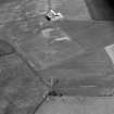
Oblique aerial view centred on the cropmarks of the barrow and the rectangular building at Newton of Lewesk, looking to the W. |
21/7/1982 |
Item Level |
 |
On-line Digital Images |
SC 1013662 |
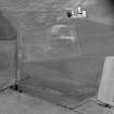
Oblique aerial view centred on the cropmarks of the barrow and the rectangular building at Newton of Lewesk, looking to the WSW. |
21/7/1982 |
Item Level |
 |
On-line Digital Images |
SC 1013663 |
Oblique aerial view centred on the cropmarks of the barrow and the rectangular building at Newton of Lewesk, looking to the WSW. |
21/7/1982 |
Item Level |


