 |
On-line Digital Images |
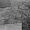
SC 1013545 |
Oblique aerial view centred on the cropmarks of the souterrains and possible enclosure at Upper Powburn, looking to the NE. |
18/7/1982 |
Item Level |
 |
On-line Digital Images |
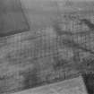
SC 1013546 |
Oblique aerial view centred on the cropmarks of the souterrains and possible enclosure at Upper Powburn, looking to the ENE. |
18/7/1982 |
Item Level |
 |
On-line Digital Images |
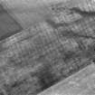
SC 1013547 |
Oblique aerial view centred on the cropmarks of the souterrains and possible enclosure at Upper Powburn, looking to the ENE. |
18/7/1982 |
Item Level |
 |
On-line Digital Images |
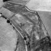
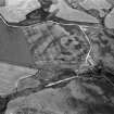
SC 1013549 |
Oblique aerial view centred on the cropmarks of the sub-rectilinear enclosure at Dalsack, looking to the ESE. |
18/7/1982 |
Item Level |
 |
On-line Digital Images |
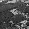
SC 1013551 |
Oblique aerial view centred on the cropmarks of the ring ditch and sub-rectilinear enclosure at Dalbreck, looking to the WSW. |
18/7/1982 |
Item Level |
 |
On-line Digital Images |
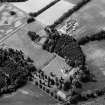
SC 1013552 |
Unidentified oblique aerial view (A.A.S 1982) |
18/7/1982 |
Item Level |
 |
On-line Digital Images |
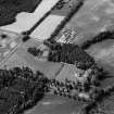
SC 1013553 |
Oblique aerial view centred on Aboyne Castle and Policies, looking to the SW. |
18/7/1982 |
Item Level |
 |
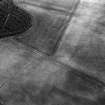
On-line Digital Images |
SC 1013554 |
Oblique aerial view centred on Aboyne Castle and Policies, looking to the SW. |
18/7/1982 |
Item Level |
 |
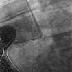
On-line Digital Images |
SC 1013555 |
Oblique aerial view centred on the cropmarks of a linear feature at Colleen Shoulder, looking to the ESE. |
18/7/1982 |
Item Level |
 |
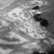
On-line Digital Images |
SC 1013556 |
Oblique aerial view centred on the cropmarks of a linear feature at Colleen Shoulder, looking to the SE. |
18/7/1982 |
Item Level |
 |
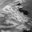
On-line Digital Images |
SC 1013557 |
Oblique aerial view centred on the cropmarks of the soutterain, pits and rig at Balrennie with Cairndrum farmstead adjacent, looking to the E. |
18/7/1982 |
Item Level |
 |
On-line Digital Images |
SC 1013558 |
Oblique aerial view centred on the cropmarks of the soutterain, pits and rig at Balrennie with Cairndrum farmstead adjacent, looking to the E. |
18/7/1982 |
Item Level |
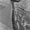 |
On-line Digital Images |
SC 1013559 |
Oblique aerial view centred on the cropmarks of the round barrows, unenclosed settlement, souterrains, pits and rig at Auchenreoch, looking to the SE. |
18/7/1982 |
Item Level |
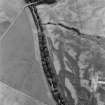 |
On-line Digital Images |
SC 1013560 |
Oblique aerial view centred on the cropmarks of the round barrows, unenclosed settlement, souterrains, pits and rig at Auchenreoch, looking to the SE. |
18/7/1982 |
Item Level |
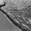 |
On-line Digital Images |
SC 1013561 |
Oblique aerial view centred on the cropmarks of the round barrows, unenclosed settlement, souterrains, pits and rig at Auchenreoch, looking to the SSE. |
18/7/1982 |
Item Level |
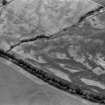 |
On-line Digital Images |
SC 1013562 |
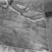
Oblique aerial view centred on the cropmarks of the round barrows, unenclosed settlement, souterrains, pits and rig at Auchenreoch, looking to the S. |
18/7/1982 |
Item Level |
 |
On-line Digital Images |
SC 1013564 |
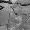
Oblique aerial view centred on the cropmarks of the unenclosed settlement, ring ditches, souterrains and rig at Westside, looking to the SE. |
18/7/1982 |
Item Level |
 |
On-line Digital Images |
SC 1013566 |
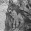
Oblique aerial view centred on the cropmarks of the pit alignment at Bridge of Cruick with Newtonmill House adjacent, looking to the NW. |
18/7/1982 |
Item Level |
 |
On-line Digital Images |
SC 1013567 |
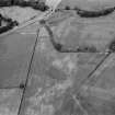
Oblique aerial view centred on the cropmarks of the pit alignment at Bent, looking to the SSE. |
18/7/1982 |
Item Level |
 |
On-line Digital Images |
SC 1013565 |
Oblique aerial view centred on the cropmarks of the pit alignment at Bridge of Cruick with Newtonmill House adjacent, looking to the NW. |
18/7/1982 |
Item Level |
 |
On-line Digital Images |
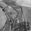
SC 1013548 |
Oblique aerial view centred on the cropmarks of the sub-rectangular enclosure at Dalsack, looking to the ESE. |
18/7/1982 |
Item Level |
 |
On-line Digital Images |
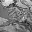
SC 1013550 |
Oblique aerial view centred on the cropmarks of the ring ditch and sub-rectilinear enclosure at Dalbreck, looking to the WSW. |
18/7/1982 |
Item Level |
 |
On-line Digital Images |
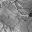
SC 1013563 |
Oblique aerial view centred on the cropmarks of the unenclosed settlement, ring ditches, souterrains and rig at Westside, looking to the SE. |
18/7/1982 |
Item Level |


