 |
On-line Digital Images |
SC 1012383 |
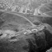
Oblique aerial view centred on the excavation of the promontory fort at Green Castle, Portknockie with the village adjacent, looking to the S. |
24/8/1979 |
Item Level |
 |
On-line Digital Images |
SC 1012385 |
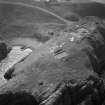
Oblique aerial view centred on the excavation of the promontory fort at Green Castle, Portknockie, looking to the SSW. |
24/8/1979 |
Item Level |
 |
On-line Digital Images |
SC 1012386 |
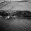
Oblique aerial view centred on the Sculptor's cave and Covesea caves, looking to the SE. |
24/8/1979 |
Item Level |
 |
On-line Digital Images |
SC 1012387 |
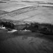
Oblique aerial view centred on the Sculptor's cave and Covesea caves, looking to the ESE. |
24/8/1979 |
Item Level |
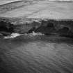 |
On-line Digital Images |
SC 1012389 |
Oblique aerial view centred on the Sculptor's cave and Covesea caves, looking to the ESE. |
24/8/1979 |
Item Level |
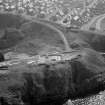 |
On-line Digital Images |
SC 1012390 |
Oblique aerial view centred on the excavation of the promontory fort at Green Castle, Portknockie with the village adjacent, looking to the SSE. |
24/8/1979 |
Item Level |
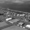 |
On-line Digital Images |
SC 1012391 |
Oblique aerial view centred on the harbour and town of Buckie, looking to the WNW. |
24/8/1979 |
Item Level |
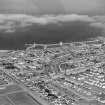 |
On-line Digital Images |
SC 1012392 |
Oblique aerial view centred on the harbour and town of Buckie, looking to the NNE. |
24/8/1979 |
Item Level |
 |
On-line Digital Images |
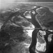
SC 1012394 |
Oblique aerial view of the mouth of the River Spey centred on the Spey viaduct with the Garmouth and Kingston Golf Course adjacent, looking to the NNW. |
24/8/1979 |
Item Level |
 |
On-line Digital Images |
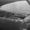
SC 1012397 |
Oblique aerial view centred on the town and harbour of Burghead, looking to the SSE. |
24/8/1979 |
Item Level |
 |
On-line Digital Images |
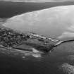
SC 1012400 |
Oblique aerial view centred on the town and harbour of Burghead, looking to the SSE. |
24/8/1979 |
Item Level |
 |
On-line Digital Images |
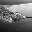
SC 1012403 |
Oblique aerial view centred on the town and harbour of Burghead, looking to the SE. |
24/8/1979 |
Item Level |
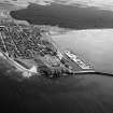 |
On-line Digital Images |
SC 1012404 |
Oblique aerial view centred on the town and harbour of Burghead, looking to the SE. |
24/8/1979 |
Item Level |
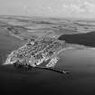 |
On-line Digital Images |
SC 1012405 |
Oblique aerial view centred on the town and harbour of Burghead, looking to the E. |
24/8/1979 |
Item Level |
 |
On-line Digital Images |
SC 1012406 |
Oblique aerial view centred on The Bar, Culbin Sands nature reserve by Nairn, looking to the ENE. |
24/8/1979 |
Item Level |
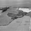 |
On-line Digital Images |
SC 1012407 |
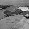
Oblique aerial view centred on the cropmarks of the enclosure and pits at Bothyhill, looking to the WNW. |
24/8/1979 |
Item Level |
 |
On-line Digital Images |
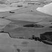
SC 1012408 |
Oblique aerial view centred on the cropmarks of the enclosure and pits at Bothyhill, looking to the WSW. |
24/8/1979 |
Item Level |
 |
On-line Digital Images |
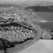
SC 1012409 |
Oblique aerial view centred on the cropmarks of the enclosure and pits at Bothyhill, looking to the SSW. |
24/8/1979 |
Item Level |
 |
On-line Digital Images |
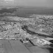
SC 1012411 |
General oblique aerial view centred on Inverness and the Kessock Bridge under construction, looking to the NW. |
24/8/1979 |
Item Level |
 |
On-line Digital Images |
SC 1012412 |
General oblique aerial view centred on Inverness and the Kessock Bridge under construction, looking to the NNE. |
24/8/1979 |
Item Level |
 |
On-line Digital Images |
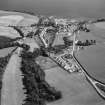
SC 1012413 |
General oblique aerial view centred on the village of Avoch, looking to the ESE. |
24/8/1979 |
Item Level |
 |
On-line Digital Images |
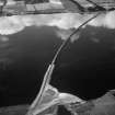
SC 1012414 |
Oblique aerial view centred on the Cromarty Bridge, looking to the NNW. |
24/8/1979 |
Item Level |
 |
On-line Digital Images |
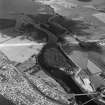
SC 1012415 |
General oblique aerial view centred on Maryburgh, Garrie Island and the Conan Bridge under construction, looking to the NE. |
24/8/1979 |
Item Level |
 |
On-line Digital Images |
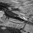
SC 1012416 |
General oblique aerial view centred on Maryburgh, Garrie Island and the Conon Bridge under construction, looking to the NE. |
24/8/1979 |
Item Level |


