Pricing Change
New pricing for orders of material from this site will come into place shortly. Charges for supply of digital images, digitisation on demand, prints and licensing will be altered.
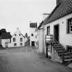
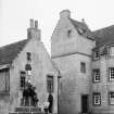
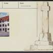
Culross, The Cross, Market Cross
Market Cross (16th Century)
Site Name Culross, The Cross, Market Cross
Classification Market Cross (16th Century)
Alternative Name(s) Mercat Cross
Canmore ID 48023
Site Number NS98NE 14
NGR NS 98683 85948
Datum OSGB36 - NGR
Permalink http://canmore.org.uk/site/48023
- Council Fife
- Parish Culross
- Former Region Fife
- Former District Dunfermline
- Former County Fife
NS98NE 14 98683 85948.
(NS 9868 8594) Cross (NR)
OS 25" map, (1962)
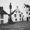
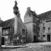
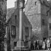
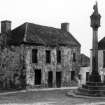
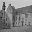
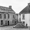
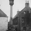
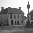
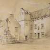
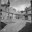
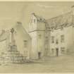
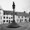
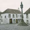
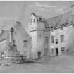
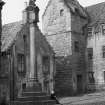
Culross Market Cross comprises an octagonal base of four steps, with a modern shaft surmounted by a unicorn on a cubical head inscribed "Restored in 1902 by the Hon Sir James Sivewright. Erected 1588." This shaft replaces that illustrated by Small, which Beveridge states was erected on an ancient base in 1819.
D Beveridge 1885; J W Small 1900; RCAHMS 1933; National Trust for Scotland nd.; SDD nd.
Visited by OS (M H) 7 July 1953.
Field Visit (March 1928)
MARKET CROSS. All that remains of the original Market Cross is the octagonal base of four steps, on which a modern shaft has been erected.
RCAHMS 1933, visited March 1928.
Photographic Survey (1938)
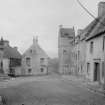
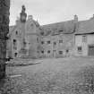
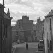
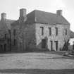
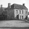
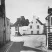
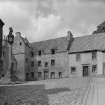
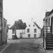
Photographs of buildings in Culross, Fife by the Ministry of Works c1938.
Photographic Survey (1950)
Photographs of buildings in Culross, Fife by the Ministry of Works c1950.
Publication Account (1987)
Culross presents one of the most visually exciting but chronologically confused series of buildings in Scotland. The value of these monuments was recognised in the 1930s when the Fife Inventory was produced and the National Trust for Scotland set up its 'Little Houses Scheme' in an effort to save the most interesting buildings. The project was a great success and the town is now largely NTS property. It attracts large numbers of tourists and has been used as a backdrop to many historical films and television programmes.
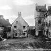
Careful study of the town plan appears to reveal three wide medieval streets now built over; later road improvements have cut through the burgess' feus to disguise further the original planning intention. The original medieval street appears to run from the cross to the Sandhaven, the northern building line being the north side of Back Causeway, the southern, the south side of Mid Causeway. This assumption is based on the pattern of the burgess' feus but appears to be confirmed by a town plan in the Report on the Parliamentary Boundaries of Scotland 1832. The Sandhaven appears to have been the second medieval street perhaps originally running behind the tolbooth (Town House) and terminating at Culross Palace. The third street is at the bottom of the Little Causeway running parallel to the shoreline of the Firth of Forth and continuing into the Dunfermline road.
It should be noted, however, that few if any of the surviving buildings in the area of the original medieval street are older than the 17th century, although one or two of them incorporate earlier datestones, while buildings on other medieval streets are all of late 17th century date or, in many cases, even later. The base of the market cross, situated at the head of Back and Mid Causeway, dates from the late 16th century, but the shaft and head are modem.
The street pattern suggested above does much to relate the Culross burgh plan to those of other prosperous medieval burghs, and the later abandonment of the medieval plan reflects the changing fortunes of the town in the late 19th and early 20th centuries. The depressed nature of this community in the recent past is also reflected in the roof coverings as the pantiled roof coverings appear as late replacements for formerly thatched roofs. The fact that the pantile was, in Fife, considered an inferior roofing material can be confirmed both visually and through documentary sources. The visual evidence is the lack of pantiles in those burghs remaining prosperous in the 19th century, where the common roofing material is slate, whereas those burghs which were depressed have pan tiled roofs. See also no. 39 for Culross Palace.
Information from ‘Exploring Scotland’s Heritage: Fife and Tayside’, (1987).


