Scheduled Maintenance
Please be advised that this website will undergo scheduled maintenance on the following dates: •
Tuesday 3rd December 11:00-15:00
During these times, some services may be temporarily unavailable. We apologise for any inconvenience this may cause.
Whitefield Castle
Tower House (Medieval)
Site Name Whitefield Castle
Classification Tower House (Medieval)
Alternative Name(s) Ashintully
Canmore ID 27535
Site Number NO06SE 1
NGR NO 08978 61692
Datum OSGB36 - NGR
Permalink http://canmore.org.uk/site/27535
- Council Perth And Kinross
- Parish Kirkmichael (Perth And Kinross)
- Former Region Tayside
- Former District Perth And Kinross
- Former County Perthshire
NO06SE 1 08978 61692
(NO 0898 6169) Whitefield Castle (In Ruins) (NR)
OS 6" map, Perthshire, 2nd ed. (1901)
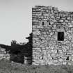
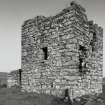
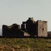
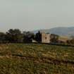
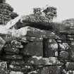
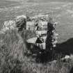
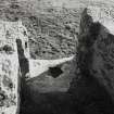
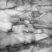
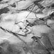
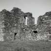
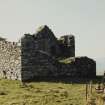
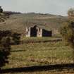
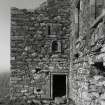
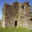
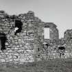
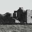
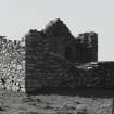
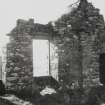
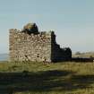
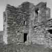
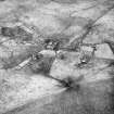
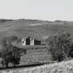
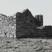
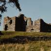
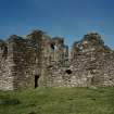
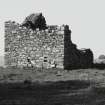
Whitefield Castle is about identical in arrangement and size with Ashintully Castle (NO16SW) and also dates from the 16th century. It is of the L-plan with the wing projecting over both sides of the main building.
It is in a state of complete ruin. The slates were removed
and materials taken for building at the beginning of the 19th century.
MacGibbon and Ross 1892
Field Visit (9 April 1968)
NO06SE 1 08978 61692 (NO 0898 6169)
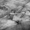
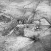
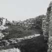
Generally as described by MacGibbon and Ross. In the immediate vicinity of the tower are the amorphous remains of turf-covered walls or banks.
Visited by OS (RD) 9 April 1968.
Field Visit (August 1987)
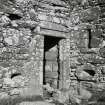
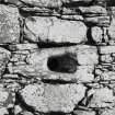
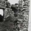
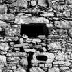
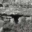
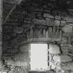
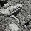
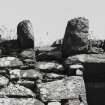
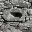
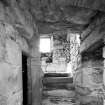
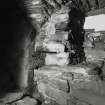
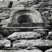
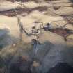
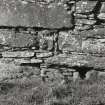
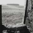
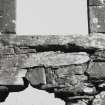
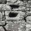
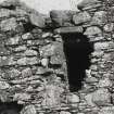
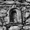
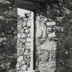
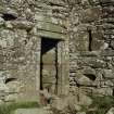
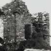
This L-plan tower-house (built 1577) stands on a slight eminence 1.2km WSW of Ashintully. Its main block has stood to two main storeys and an attic in height and has a stair-tower extruded at the W angle. Externally and within the detail is well executed and the tower is efficiently provided with enfilading loops. A hood-moulded panel niche with dated sill is set above the entrance-doorway in the S re-entrant. Internally the ground floor is divided into two barrel-vaulted compartments (that on the E the kitchen), with a service corridor on the S; a service-stair communicating with the hall was incorporated in the N end-wall. A well proportioned dog-leg stair, with ceiled-vault, provided the principle access to the first-floor hall, from which a newel-stair, corbelled-out over the N re-entrant, communicated with a cap-house and possibly also the attic. Probably in the 18th century the building was remodelled and enlarged windows were incorporated, mainly at first-floor level. Two corbels at the level of the cap-house (one a reused lintel) were possibly for a garderobe chute or hoarding.
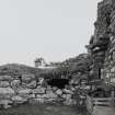
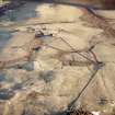
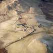
On the S side of the tower there are the wasted remains of a barmkin, connecting on the NW side with a ditch (up to 5m broad). A counterscarp bank, on the S side of the terrace, may indicate the site of an original causeway.
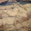
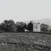
Whitefield probably belongs to a cadet of the Spalding family. In the early 19th century the tower was partially demolished for a neighbouring farmsteading (NO 0904 6165).
Visited by RCAHMS (IMS) August 1987
RCAHMS 1990.
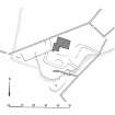
Measured Survey (1987)
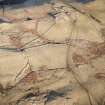
RCAHMS surveyed Whitefield tower-house in 1987. A site plan was redrawn in ink and published at a scale of 1:1000 (RCAHMS 1990, Fig. 212A).


