
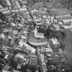
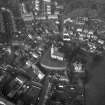
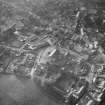
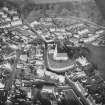
Markinch, 30 Commercial Street, Radnor


House (19th Century)
Site Name Markinch, 30 Commercial Street, Radnor
Classification House (19th Century)
Canmore ID 93556
Site Number NO20SE 94
NGR NO 29670 01928
Datum OSGB36 - NGR
Permalink http://canmore.org.uk/site/93556


- Council Fife
- Parish Markinch
- Former Region Fife
- Former District Kirkcaldy
- Former County Fife

