
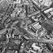
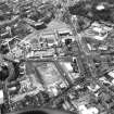
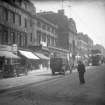
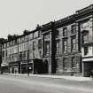
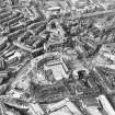
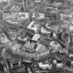
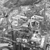
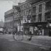
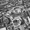
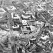
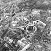
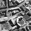
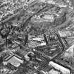
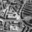
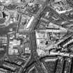
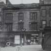
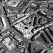
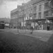
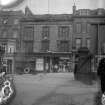
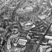
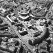
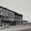
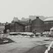
Edinburgh, Lothian Road, General


General View (Period Unassigned)
Site Name Edinburgh, Lothian Road, General
Classification General View (Period Unassigned)
Canmore ID 91565
Site Number NT27SW 1058
NGR NT 24785 73311
NGR Description Centred NT 24785 73311
Datum OSGB36 - NGR
Permalink http://canmore.org.uk/site/91565


- Council Edinburgh, City Of
- Parish Edinburgh (Edinburgh, City Of)
- Former Region Lothian
- Former District City Of Edinburgh
- Former County Midlothian
Formerly NT27SW 0.32
ARCHITECTS: George Smith 1848 - Nos 37 - 65
David McGibbon 1863 - Nos 71 - 103
William Burn 1822
REFERENCES:
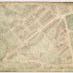
SCOTTISH RECORD OFFICE
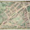
RHP 5592 William Burn - plan of building stances and plan of cellars
NMRS SPECIAL COLLECTIONS
LOR/EDIN, LOTHIAN ROAD, ST JOHNS CHURCH/1 and 2
Insc: 'City of Edinburgh. Proposed ROAD WIDENING at St. Johns Church, Lothian Road'
Two preliminary sketches in pencil on tracing (one coloured)
Dated: March 1926
Unsigned
NMRS PRINTS AND DRAWINGS
See EDD/551 George IV Bridge for block plan, Thomas Hamilton, 1829
REFERENCE:
High Cairncross
Edinburgh. Lothian Road. E side, at Tollcross, elevation for feu-plan, 1810
(Edinburgh Evening Courant, Nov 8, 1810)

