Pricing Change
New pricing for orders of material from this site will come into place shortly. Charges for supply of digital images, digitisation on demand, prints and licensing will be altered.
Scheduled Maintenance Notice
Please be advised that this website will undergo scheduled maintenance starting on Thursday, 30th January at 11:00 AM and will last until Friday, 31st January at 10:00 AM.
During this time, the site and certain functions may be partially or fully unavailable. We apologise for any inconvenience this may cause.
An Fhaighear Mhoir
Military Camp (20th Century)
Site Name An Fhaighear Mhoir
Classification Military Camp (20th Century)
Canmore ID 91048
Site Number NG88NW 5
NGR NG 81694 88034
NGR Description Centred 81694 88034
Datum OSGB36 - NGR
Permalink http://canmore.org.uk/site/91048
- Council Highland
- Parish Gairloch
- Former Region Highland
- Former District Ross And Cromarty
- Former County Ross And Cromarty
NG88NW 5 Centred 81694 88034
For anti-aircraft battery site see NG88NW 3
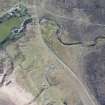
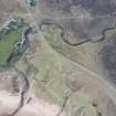
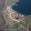
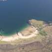
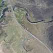
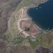
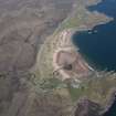
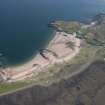
Second World War military camp associated with anti-aircraft battery (NG88NW 3) and other military sites is visible on vertical air photographs, (RAF 540/888, 5140-42, flown 1952) as the footings and bases of several huts at the above location. The modern OS map (OS 1:10000 map, 1990) has annotated the map, 'Camp site (disused)' at NG 8220 8820 although there is no evidence of a site at this location on the vertical air photographs.
Information from RCAHMS (DE) February 1996


