Camster
Cairn (Period Unassigned), Cist (Period Unassigned)
Site Name Camster
Classification Cairn (Period Unassigned), Cist (Period Unassigned)
Alternative Name(s) Grey Cairns Of Camster
Canmore ID 8694
Site Number ND24SE 17
NGR ND 2603 4390
Datum OSGB36 - NGR
Permalink http://canmore.org.uk/site/8694
- Council Highland
- Parish Wick
- Former Region Highland
- Former District Caithness
- Former County Caithness
ND24SE 17 2603 4390.
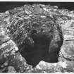
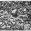
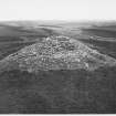
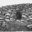
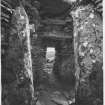
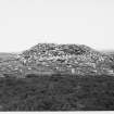
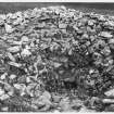
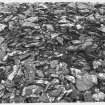
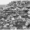
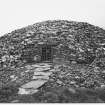
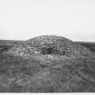
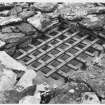
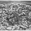
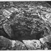
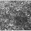
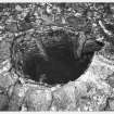
The remains of a small cairn 27'diameter and 2'high with a cist, 5'to 6 'diameter, exposed in the centre. An unburnt skeleton is said to come from the cist. According to Feachem (1963) this cairn is not one of the 'Grey Cairns of Camster', but the Ordnance Survey Name Book (ONB, 1872) includes it under that heading. Anderson (1886) suggests an association with the stone rows (ND24SE 3).
Name Book 1872; J Anderson 1886; RCAHMS 1911; R W Feachem 1963.
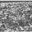
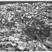
A mound of bare, rubble stones about 9m in diameter and 0.4m high. The centre has been dug into and the stones heaped around to form a rough shelter about 3m in diameter, within which is one earthfast slab on edge, 1m long, facing NE-SW, which is probably part of the cist. Two loose slabs lie beside it. The cairn would appear to be too far (about 100m) from the stone rows to be directly associated.
Surveyed at 1:10,000.
Visited by OS 11 April 1972.


