
Pricing Change
New pricing for orders of material from this site will come into place shortly. Charges for supply of digital images, digitisation on demand, prints and licensing will be altered.
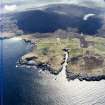
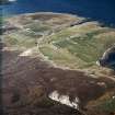
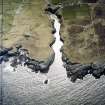
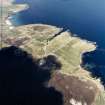
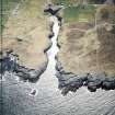
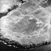
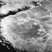
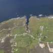
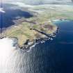
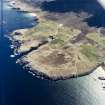
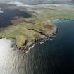
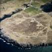
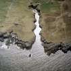
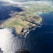
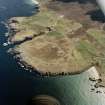
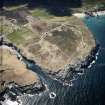
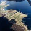
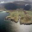
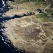
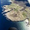
Smoo


Township (Period Unassigned)
Site Name Smoo
Classification Township (Period Unassigned)
Canmore ID 86193
Site Number NC46NW 15
NGR NC 4166 6692
NGR Description Centred NC 417 669
Datum OSGB36 - NGR
Permalink http://canmore.org.uk/site/86193


- Council Highland
- Parish Durness
- Former Region Highland
- Former District Sutherland
- Former County Sutherland
Note
A township, comprising eighteen roofed and two unroofed buildings is depicted on the 1st edition of the OS 6-inch map (Sutherland 1878, sheet vi). The township has 16 roofed and 2 unroofed buildings on the current edition OS 1:10,560 map (1961).
Information from RCAHMS (FO) 9 August 1995.

