
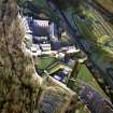
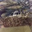
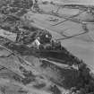
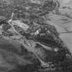
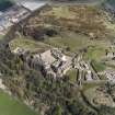
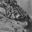
Ballengeich Pass


Cemetery (19th Century), Quarry (19th Century) - (20th Century)
Site Name Ballengeich Pass
Classification Cemetery (19th Century), Quarry (19th Century) - (20th Century)
Canmore ID 83094
Site Number NS79SE 179
NGR NS 7910 9416
Datum OSGB36 - NGR
Permalink http://canmore.org.uk/site/83094


- Council Stirling
- Parish Stirling
- Former Region Central
- Former District Stirling
- Former County Stirlingshire
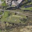
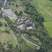
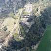
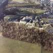
Note (28 March 2025)
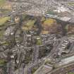
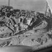
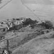
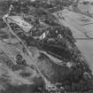
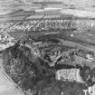
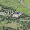
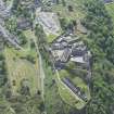
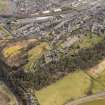
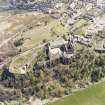
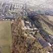
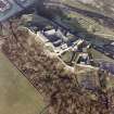
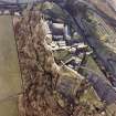
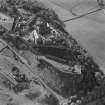
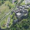
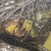
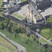
A cemetery and a quarry are depicted on the 2nd edition of the OS 25-inch map (1898) - Stirlingshire XVII.3.
Information from HES (D Watson) 28 March 2025

