Scheduled Maintenance
Please be advised that this website will undergo scheduled maintenance on the following dates: •
Tuesday 3rd December 11:00-15:00
During these times, some services may be temporarily unavailable. We apologise for any inconvenience this may cause.
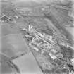
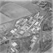
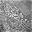
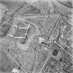
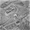
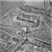
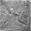
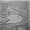
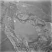
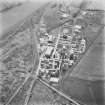
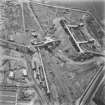
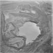
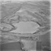
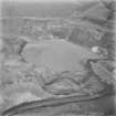
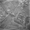
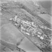
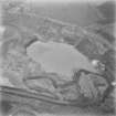
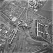
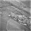
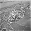
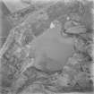
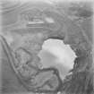
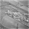
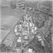
Westfield, Opencast Coal Mine
Colliery (20th Century), Gasification Plant (20th Century)
Site Name Westfield, Opencast Coal Mine
Classification Colliery (20th Century), Gasification Plant (20th Century)
Canmore ID 81626
Site Number NT19NE 20
NGR NT 195 982
Datum OSGB36 - NGR
Permalink http://canmore.org.uk/site/81626
- Council Fife
- Parish Auchterderran
- Former Region Fife
- Former District Kirkcaldy
- Former County Fife
NT19NE 20 195 982
WESTFIELD OPENCAST
Location: near Cardenden
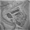
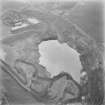
Other Details: Begun in 1955 on the site of the former Kirkness Colliery, production commencing in 1956. Produced 20,000 tons per week, 40% of Scottish opencast capacity at the time, said to be the biggest opencast site in UK, and claimed to be Europe's biggest hole. Had its own coal preparation plant. Experimental Lurgi plant [high pressure gasification process which converts coal into fuel gas] opened nearby in 1960 at Westfield.
M K Oglethorpe 2006.


