
Following the launch of trove.scot in February 2025 we are now planning the retiral of some of our webservices. Canmore will be switched off on 24th June 2025. Information about the closure can be found on the HES website: Retiral of HES web services | Historic Environment Scotland
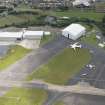
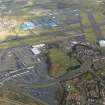
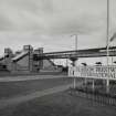
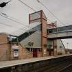
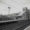
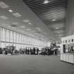
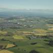
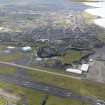
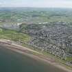
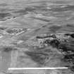
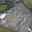
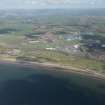
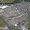
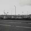
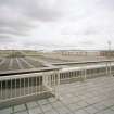
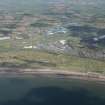
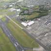
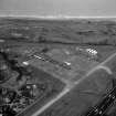
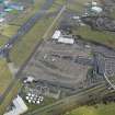
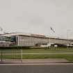
Prestwick Airport


Airfield (20th Century), Airport (20th Century)
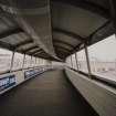
Site Name Prestwick Airport
Classification Airfield (20th Century), Airport (20th Century)
Alternative Name(s) Prestwick Airfield; Prestwick Scotland Airport; Glasgow Prestwick International Airport; Monkton Landing Ground
Canmore ID 79633
Site Number NS32NE 39
NGR NS 36270 26850
NGR Description Centred NS 36270 26850
Datum OSGB36 - NGR
Permalink http://canmore.org.uk/site/79633


First 100 images shown. See the Collections panel (below) for a link to all digital images.
- Council South Ayrshire
- Parish Monkton And Prestwick
- Former Region Strathclyde
- Former District Kyle And Carrick
- Former County Ayrshire
NS32NE 39.00 centred 36270 26850
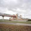
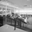
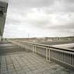
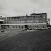
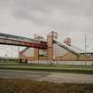
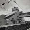
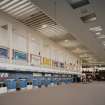
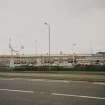
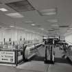
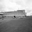
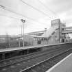
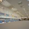
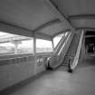
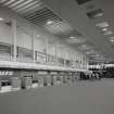
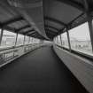
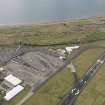
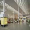
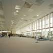
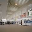
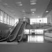
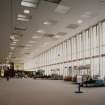
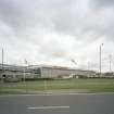
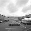
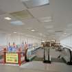
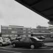
NS32NE 39.01 NS 3522 2702 Terminal Buildings
NS32NE 39.02 NS c.3657 2770 Pillbox
NS32NE 39.03 NS c.3640 2740 Pillbox
NS32NE 39.04 NS c.3630 2718 Pillbox
NS32NE 39.05 NS c.3610 2710 Pillbox
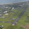
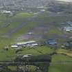
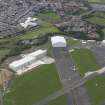
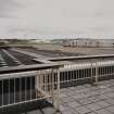
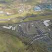
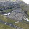
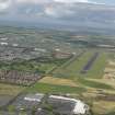
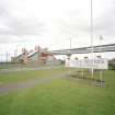
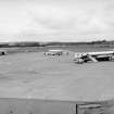
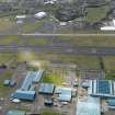
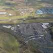
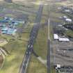
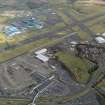
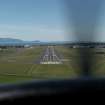
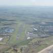
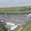
Prestwick Airport opened as a grass field on 17 February 1936 and had become a transatlantic terminal by 1941. September 1945 saw the departure of the USAAF support units and a significant reduction in aircraft movements and on 1 April 1946 the airport was transferred to State ownership. The USAF base was reactivated in 1951 and the subsidiary runway closed to enable a huge parking apron to be constructed. The main runway was lengthened to 2,987m and an entirely new cross runway added which encroached upon the former RAF Ayr (NS32SE 23). In the mid-1960s a modern terminal and tower were built and the old tower and surrounding hut complex were pulled down.
D J Smith 1983.
NS32NE 39 00 3627 2685
NS32NE 39 01 35220 27023 Terminal Buildings

