
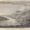
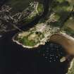
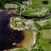
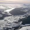
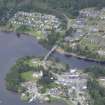
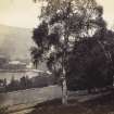
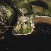
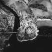
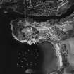
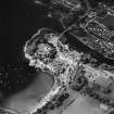
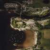
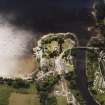
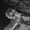
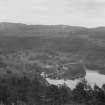
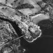
Kenmore


Burgh (Medieval), Village (Period Unassigned)
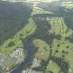
Site Name Kenmore
Classification Burgh (Medieval), Village (Period Unassigned)
Canmore ID 78151
Site Number NN74NE 73
NGR NN 773 454
Datum OSGB36 - NGR
Permalink http://canmore.org.uk/site/78151


- Council Perth And Kinross
- Parish Kenmore (Perth And Kinross)
- Former Region Tayside
- Former District Perth And Kinross
- Former County Perthshire
NMRS REFERENCE
NMRS LIBRARY
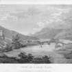
'Observations on the state of the roads and communications to Kenmore and Breadalbane. With a few additional remarks explanatory of the former state and direction of these roads: and some recent proceedings connected with them'.
Photocopy of manuscript by Major-General David Stewart of Garth.
(A wound to his right arm made his handwriting dreadful, and this is in his clerk's hand, although the corrections are his own - note by James Irvine Robertson)

