Pricing Change
New pricing for orders of material from this site will come into place shortly. Charges for supply of digital images, digitisation on demand, prints and licensing will be altered.
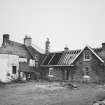
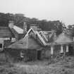
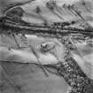
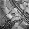
Kilmadock Church, Manse
Cottage(S) (19th Century) - (20th Century), Manse (18th Century)
Site Name Kilmadock Church, Manse
Classification Cottage(S) (19th Century) - (20th Century), Manse (18th Century)
Alternative Name(s) Old Kilmadock Manse; St Aedh's Church, Manse; Kilmadock Cottages
Canmore ID 77606
Site Number NN70SW 59
NGR NN 70704 02383
Datum OSGB36 - NGR
Permalink http://canmore.org.uk/site/77606
- Council Stirling
- Parish Kilmadock
- Former Region Central
- Former District Stirling
- Former County Perthshire
NN70SW 59 70704 02383
NN70SW 12 70664 02479 St Aedh's Church
The parish church at Kilmadock was moved to Doune about the year 1756 although many families continued to bury at Kilmadock where the minister still resides, with his manse and glebe.
Statistical Account (OSA) 1798.
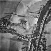
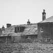
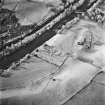
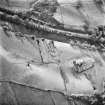
The manse at Old Kilmadock lies approx. 80m to the SSE of the ruined church of St. Aedh (see NN70SW 12). It is depicted on the 1st ed. Ordnance Survey (Perthshire sheet 124, surveyed 1862-3) although little survives today.
RCAHMSAP (RHM) 10 February 1994.
James MacFarlane
Kilmadock Parish Church, Doune (? unexecuted)
advertisement for tenders, 1820
(EDINBURGH EVENING COURANT, Feb 28, 1820)


