Cairnholy 8
Cup Marked Rock (Neolithic) - (Bronze Age)
Site Name Cairnholy 8
Classification Cup Marked Rock (Neolithic) - (Bronze Age)
Alternative Name(s) Cairnholy 8; Cairn Holy; Kirkdale
Canmore ID 77510
Site Number NX55SW 62
NGR NX 51622 54719
Datum OSGB36 - NGR
Permalink http://canmore.org.uk/site/77510
- Council Dumfries And Galloway
- Parish Kirkmabreck
- Former Region Dumfries And Galloway
- Former District Wigtown
- Former County Kirkcudbrightshire
NX55SW 62 5161 5471
Small exposed outcrop a few metres S of a pile of stones. Two plain cups. Weathered.
L Schilders, 1992.
Van Hoek notes 'two plain cups on rather steep west slope. Weathered.'
M A M van Hoek 1995
Field Visit (28 April 1994)
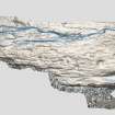
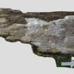
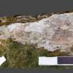
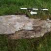
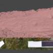
On an exposed area of rock, measuring 1.2m N to S by 0.3m transversely, on the edge of a scarp about 110m NE of cup and-ring markings at NX 5155 5463 (NX55SW 29), and 90m S of the cup and-ring marked slab at NX 5161 5480 (NX55SW 30), there are two plain cups, 150mm apart, the larger measuring 35mm in diameter and 10mm in depth.
(Cree94 307)
Visited by RCAHMS (SDB) 28 April 1994
Note (13 April 2019)
Date Fieldwork Started: 13/04/2019
Compiled by: Whithorn
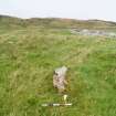
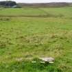
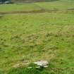
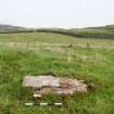
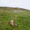
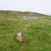
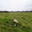
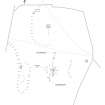
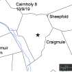
Location Notes: This panel is located close to the centre of a large field on the W edge of a grassy bank, c.850m to the NNW of the Cairnholy Chambered Cairn 1. Approximately 20m to the NNE is the edge of a large stone covered mound, likely a clearance cairn, the top of which is 32m distance. A further 50m beyond the clearance cairn to the N is another rock art panel, Cairnholy 5 (ScRAP ID: 2159; Canmore ID: 63728). To the SW, approximately 110m distance, is a large outcrop on the edge of the field which has been carved with numerous motifs (see Cairnholy 4, 11, 12, 13, 14 ad 15). There are open views to the S and to the sea from the panel. Kirkmuir Farm is due W on the other side of the valley where there are numerous other rock art panels.
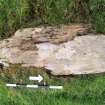
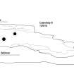
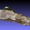
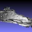
Panel Notes: This panel is long, narrow and pointed at one end; it measures 1.2m in length, 0.4m in width and is up to a maximum of 0.1m in height. The surface has been carved with two cup marks.


