
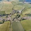
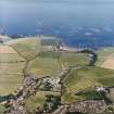
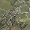
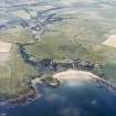
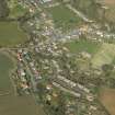
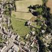
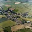
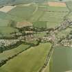
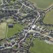
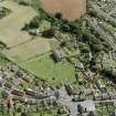
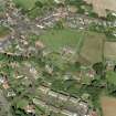
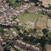
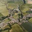
Coldingham, General


Burgh (Medieval), Village (Period Unassigned)
Site Name Coldingham, General
Classification Burgh (Medieval), Village (Period Unassigned)
Canmore ID 76241
Site Number NT96NW 37
NGR NT 90274 65974
Datum OSGB36 - NGR
Permalink http://canmore.org.uk/site/76241


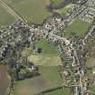
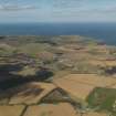
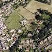


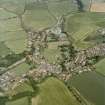
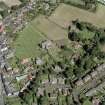
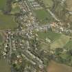
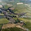
- Council Scottish Borders, The
- Parish Coldingham
- Former Region Borders
- Former District Berwickshire
- Former County Berwickshire
NMRS REFERENCE
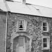
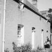
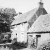
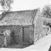
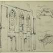
Architect: J Jordan - Warden House - Coldingham
Sbc Note (21 March 2016)
Visibility: This was the site of an archaeological monument, which may no longer be visible.
Information from Scottish Borders Council
Previously also listed under duplicate site NT96SW 510 -CANCELLED. HES (LCK) 11.6.2024

