Following the launch of trove.scot in February 2025 we are now planning the retiral of some of our webservices. Canmore will be switched off on 24th June 2025. Information about the closure can be found on the HES website: Retiral of HES web services | Historic Environment Scotland
Forse House
Farmstead (Period Unassigned)
Site Name Forse House
Classification Farmstead (Period Unassigned)
Canmore ID 76109
Site Number ND23SW 24
NGR ND 2064 3487
Datum OSGB36 - NGR
Permalink http://canmore.org.uk/site/76109
- Council Highland
- Parish Latheron
- Former Region Highland
- Former District Caithness
- Former County Caithness
ND23SW 24 2064 3487
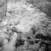
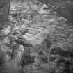
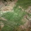
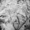
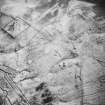
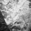
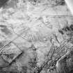
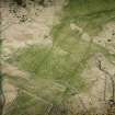
A farmstead comprising an unroofed structure and three enclosures is depicted on the 1st edition of the OS 6-inch map (Caithness 1877, sheet xxxiii). Two enclosures are shown on the current edition of the OS 1:10,000 map (1983).
Information from RCAHMS (SAH) 23 November 1995
Scheduled with ND23NW 11, ND23NW 12, ND23NW 13, ND23NW 37 and ND23SW 6, ND23SW 9, ND23SW 21, ND23SW 22, ND23SW 25 as 'Forse House, settlement, field system, burnt mounds and cairns... an extensive area of remains, including those of deserted farmsteads ... together with associated cultivation remains of various dates, small cairns and burnt mounds.'
Information from Historic Scotland, scheduling document dated 30 January 2003.


